Google Maps Launches Address Descriptors, Making Landmark-Based Addresses More Accurate
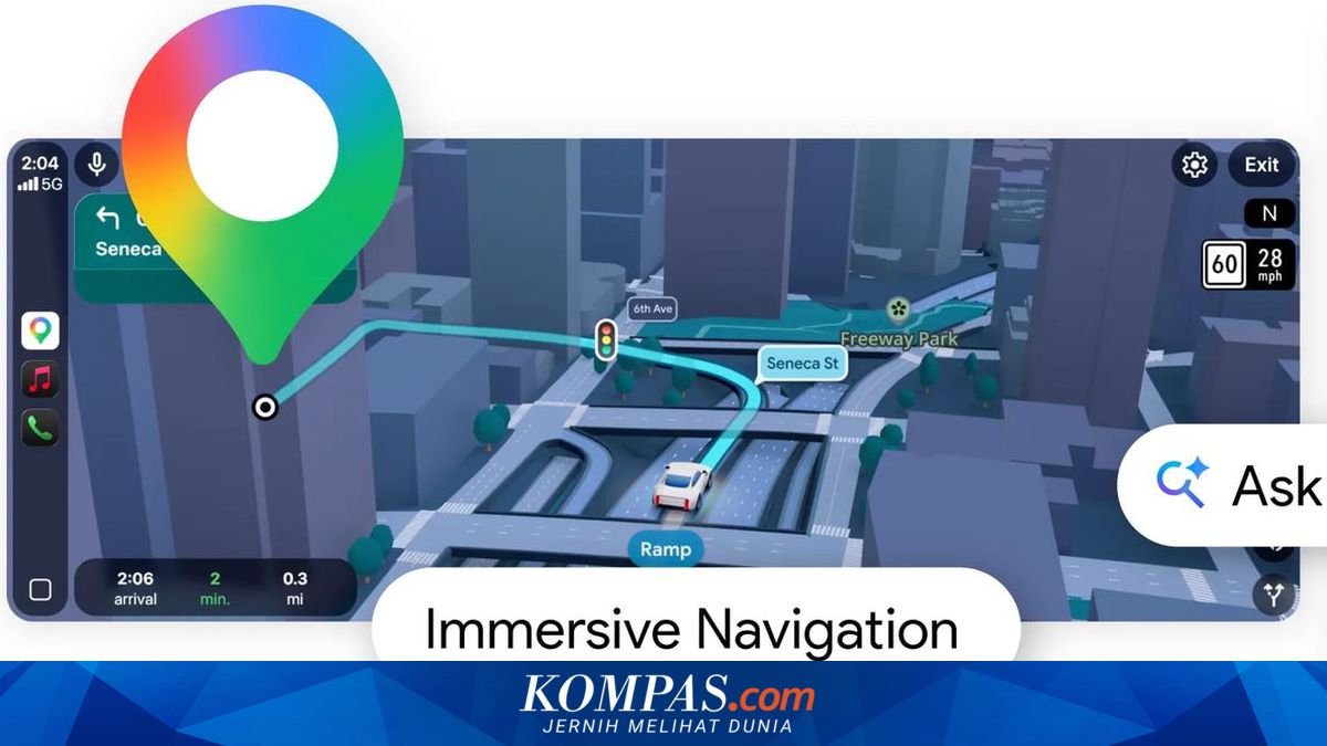
JAKARTA, KOMPAS.com - Google Maps, together with Terralogiq, is implementing Advanced Geocoding technology through the Address Descriptors feature. This technology facilitates the real-time reading of locations based on landmarks and surrounding areas.
Terralogiq’s Chief Technology Officer, Farry Argoebie, stated that this technology addresses the need for location accuracy amid the growth of the digital economy.
“This innovation represents a major evolution in the Google Geocoding API, enabling digital systems not only to read static coordinates but also to understand location contexts based on landmarks and surrounding areas in real-time,” said Farry in an official statement on Tuesday (31/3/2026).
This situation often causes ambiguity in conventional mapping systems.
Through Address Descriptors, the system can translate addresses into contextual information. The information includes the nearest landmarks, area contexts, and spatial relationships.
The nearest landmarks indicate iconic points around the location. Area contexts provide an overview of the environment. Spatial relationships explain the relative position to other objects.
“With this capability, digital systems can understand locations precisely even if the address data entered by users is incomplete or descriptive,” he said.
“This feature is crucial in Indonesia because we often use ‘landmarks’ rather than house numbers,” he added.
For example, an address like “Jl Pangpol XII” will be converted into a clearer description.
“For instance, if a customer inputs ‘Jl Pangpol XII’, it is transformed into an Address Descriptors result with landmark and area information, and on the driver’s screen, it will immediately appear: Jl. Panglima Polim No.12 (Near Masjid Jalan Panglima Polim XI),” he said.
“So the driver no longer needs to call the customer and ask, ‘What’s the landmark, Sir?’” he added.
“This technology will increase the success rate of last-mile delivery by reducing the risk of failed deliveries due to ambiguous addresses. Couriers can find locations more quickly thanks to landmark-based navigation assistance,” he explained.
“Additionally, it will sharpen the accuracy of store locators and the efficiency of asset mapping in high-density areas, as well as strengthen customer address verification processes (Know Your Customer) and location validation for more accountable field services,” he clarified.