Central Java 2026 Mudik Risk Map: Exercise Caution at 46 Congestion Points and 23 Disaster-Prone Zones
The Central Java and Yogyakarta National Road Implementation Agency (BBPJN) has mapped road segments vulnerable to disaster and traffic congestion ahead of the 2026 Lebaran holiday exodus. This initiative represents a mitigation effort against anticipated vehicle surges and potential disruptions from extreme weather.
According to BBPJN Central Java and Yogyakarta mapping, at least 46 congestion hotspots and 23 disaster-prone zones have been identified along Central Java’s national highways that require travellers’ attention.
Moch Iqbal Tamher, Head of BBPJN for Central Java and Yogyakarta, explained that congestion-prone areas are spread across the northern coastal route, central route, and southern route.
The majority of these congestion points concentrate in open-air markets, railway level crossings, vehicle junction intersections, and toll highway entry-exit points.
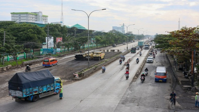
The northern coastal route remains the most critical corridor due to its high volume of logistics vehicles, intercity buses, and private vehicles arriving from the west.
Beyond congestion concerns, natural disaster threats warrant serious attention, comprising 14 flood-prone zones and 9 landslide-prone zones. Flood potential threatens several vital stretches including Kaligawe Road in Semarang, Sayung section at the Semarang-Demak border, Walisongo Road, and Kendal section along the northern coastal route.
Water inundation has also been identified as potentially occurring along Pemuda Road in Brebes, Prupuk through to the Tegal-Banyumas boundary, Sidareja towards the Three-way Junction at Jeruklegi, Sampang-Buntu, Klampok-Banjarnegara, the Southern Ring Road in Klaten, and the Palur-Sragen area. These regions typically lie in lowland areas or have histories of inundation during heavy rainfall or tidal flood phenomena.
Meanwhile, landslide threats are predominantly concentrated along the southern route and hilly regions characterised by unstable soil. Several stretches categorised as red-zone landslide areas include the West Java-Karangpucung boundary through to Wangon, Ajibarang-Wangon, Wangon towards the Banyumas-Cilacap boundary, Patikraja-Rawalo, and access routes from the Banjarnegara city boundary towards Wonosobo.
To counteract these risks, BBPJN has deployed 18 Lebaran command posts across strategic corridors. In the western region, posts are available along the Tegal-Brebes-Prupuk boundary and the Tegal-Pemalang boundary.
For central and eastern regions, command posts have been positioned at Alas Roban, Walisongo Road, the Semarang-Demak boundary, through to Pati and Rembang sections. The southern route has been additionally reinforced with posts at Bawen-Salatiga, Kartosuro-Klaten, Purwokerto-Patikraja, Klampok, and Wawar-Congot.