Why Do KW 4, 5 and 6 Lands Cause Duplicate Freehold Titles? BPN Explains
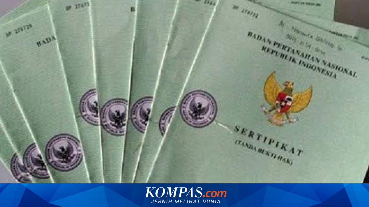
Cases of duplicate freehold titles (SHM) continue to occur across various regions in Indonesia. One highlighted cause is the prevalence of land parcels classified under KW 4, KW 5, and KW 6 in land data. The Ministry of Agrarian Affairs and Spatial Planning/National Land Agency (ATR/BPN) states that these categories refer to land parcels not fully mapped within the digital land system. This condition typically affects land certificates issued before the implementation of modern digital mapping and spatial data integration systems. In its explanation, ATR/BPN describes KW 4, KW 5, and KW 6 land parcels as ‘unmapped’ or not fully integrated with digital cadastral maps. Consequently, the position and boundaries of land parcels may be inaccurate, leading to overlapping ownership or duplicate SHMs. Older land certificates issued between 1961 and 1997 remain unintegrated into digital data systems, potentially causing ownership overlaps. Before the advent of modern land registration systems and land digitisation, many certificates were issued without precise coordinates on cadastral maps. This results in land parcels being registered at imprecise locations or overlapping with other parcels. ‘The high number of conflicts and public complaints stems from the lack of past cadastral digitisation,’ said Shamy. The BPN cadastral map is a large-scale map presenting spatial and legal data on the location, boundaries, size, and shape of land parcels. This map serves as the primary reference for issuing land certificates and provides legal certainty over land ownership. Used for land surveying, cadastral maps have a very large scale, ranging from 1:100 to 1:5,000. This allows each physical land boundary to be clearly and precisely visible. KW land is categorised into six levels indicating the completeness and integration of land data.