When Nature Changes a Region's Administrative Boundaries
Natural disasters that have haunted Indonesia throughout the year are not only affecting mitigation and post-disaster rescue efforts. These disasters will continue to present new problems if not anticipated, one of which is shifting the administrative boundaries of a region. The most common example is when sea levels rise; affected residents relocate, and a village is swallowed by the sea. This has occurred frequently along the northern coast of Java.
Deputy Minister of Home Affairs Bima Arya explained how cases of shifts in a region’s administrative boundaries due to disasters have become a crucial issue to be considered in future mitigation efforts.
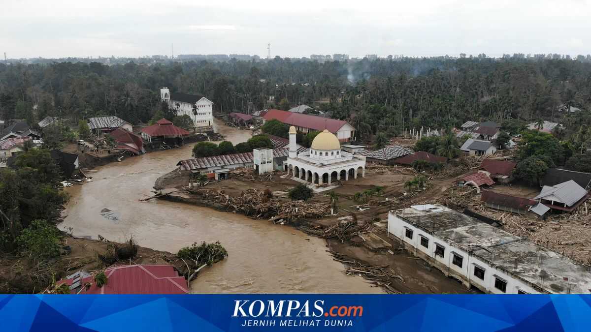
Floods that devastated hundreds of villages in Aceh, West Sumatra, and North Sumatra have altered the topography of a region. The onslaught of flash floods meandered into new river courses, eroding boundaries that had previously been precisely defined by the administration of the region.
The problem is not merely moving boundary markers from the old line to the new one, but also causing a domino effect for residents. Those still displaced become confused; upon returning they find their village has disappeared. They must change their residency status from the vanished village A to the newly emerged and expanding village B.
‘So this is hard work. It's not just physical recovery but administrative work as well,’ said Bima. There are also political problems that are indirectly touched by these population shifts. Bima Arya said that, at a broader scale involving the boundaries of regencies/cities, there would be wider implications, namely the migration of constituents of electoral districts.