Unej and BIG to Oversee Implementation of One Map Policy in Tapal Kuda Region
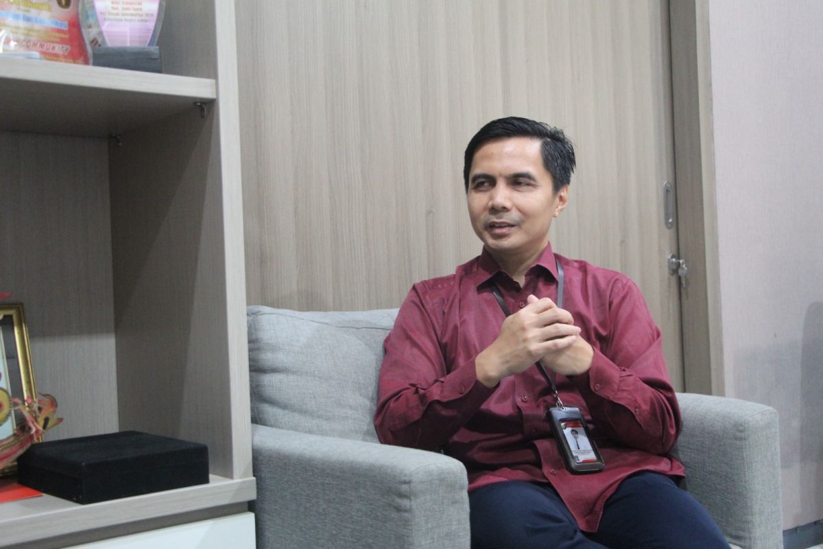
Jember, East Java - Universitas Jember (Unej) and the Geospatial Information Agency (BIG) have expressed their readiness to oversee the implementation of the One Map Policy in the Tapal Kuda region, which encompasses Banyuwangi, Situbondo, Bondowoso, Jember, Lumajang, and Probolinggo districts. “The transformation from numbers to maps is what Unej and BIG are now promoting to guide the implementation of the One Map Policy,” stated Prof Bayu Taruna Widjaja, an expert in precision agriculture at Unej, in a statement in Jember on Sunday. According to him, data is no longer merely rows of numbers in tables. In this dynamic era, valuable data is that which can “speak,” presented visually and capturing spatial realities with precision. “The utilisation of geospatial data in that region still needs to be enhanced, thus opening opportunities for Unej to play a role in supporting local governments in managing spatial data,” he added. In practice, local governments do not always need to coordinate directly with the Geospatial Information Agency, as the presence of the university in Jember serves as a bridge to help address various spatial issues at the regional level. “Local governments don’t need to go to the trouble of contacting BIG. They can just go through Unej to help resolve spatial-related problems in the Tapal Kuda region,” he said. He explained that the utilisation of geospatial data in the Tapal Kuda region remains relatively low, especially compared to other areas like West Java, where management is more advanced. Additionally, there is a tendency for local governments to rely on map ownership without ensuring updates and the accuracy of the data used. “We are pushing for an innovative leap by changing the paradigm of data presentation from tabular-based to utilising spatial data,” he stated. In the realm of public information openness, such as at the university’s Public Information and Documentation Management Officer (PPID), for example, data on the distribution of student origins is no longer just shown as rows of numbers by region of origin, but projected onto a digital map in the form of location points or colour gradients (heatmap). This spatial-based approach provides a more informative picture. Data not only shows quantities but also positions and distributions in the field. This is considered one form of innovation that can be developed, particularly in improving the quality of public information presentation in the university environment. In its development, Unej has also utilised computing infrastructure to support data processing, including in the development of Artificial Intelligence (AI). This technology is used to aid data analysis, such as identifying agricultural commodities based on spatial data and field imagery. “The utilisation of AI has begun to be applied in geospatial-based mapping activities, one of which is through the development of cocoa commodity mapping in Banyuwangi,” he said. In practice, this mapping identifies cocoa plantation locations, planting areas, and environmental conditions affecting plant growth based on spatial data and field observations. Through this approach, data not only indicates the presence of commodities but also provides a more detailed picture of distribution and regional potential. This mapping serves as an initial step in building a more structured agricultural database that can be further developed in the future.