The Face of Kalijodo Now Versus 12 Years Ago
JAKARTA — The Kalijodo district, which was once a site of prostitution spanning two administrative regions in West Jakarta and North Jakarta, holds a remarkable story of transformation.
This area was not merely a typical slum settlement, but rather an entertainment district that had operated for decades, making it one of the problematic areas that frequently drew public attention.
Efforts to evict residents from this area did not proceed smoothly. When Basuki Tjahja Purnama, known as Ahok, served as Governor of DKI Jakarta, plans to rehabilitate Kalijodo faced fierce and tumultuous resistance.
Kompas.com traced the changes in this area over time using Google Street View on Google Maps, beginning from its dilapidated condition in 2013 until its current appearance as a green public space in 2025. This investigation was conducted on Monday (25 May 2026). It should be noted, however, that Google Street View does not yet have the latest data for this area in 2026, so the current visual condition of the district cannot be monitored through this platform.
In April 2013, Google Street View captured the face of Kalijodo in conditions far from acceptable.
A row of semi-permanent buildings with corrugated zinc roofs stood crammed together along Jalan Kepanduan II.
In front of the buildings, small food stalls sold various daily necessities in a disorderly manner.
The street appeared narrow, with electrical cables running haphazardly through the air, and drainage canals on the side of the road appeared neglected.
This area was known to the public as one of the problematic zones in North Jakarta.
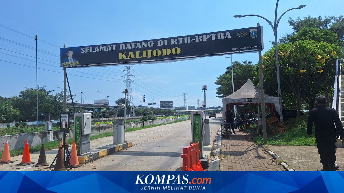
A significant change occurred in October 2018, two years after the DKI Jakarta Provincial Government officially inaugurated the Child-Friendly Integrated Public Space (RPTRA) Kalijodo in February 2016.
All illegal buildings and slum settlements had been razed to the ground. Jalan Kepanduan II appeared wider with neatly laid paving block surfaces.
Piles of building materials and wire fencing barriers were still visible at several points, indicating that the organisation process was still ongoing.