Root Cause of Aceh Tengah Cliff Collapse Revealed
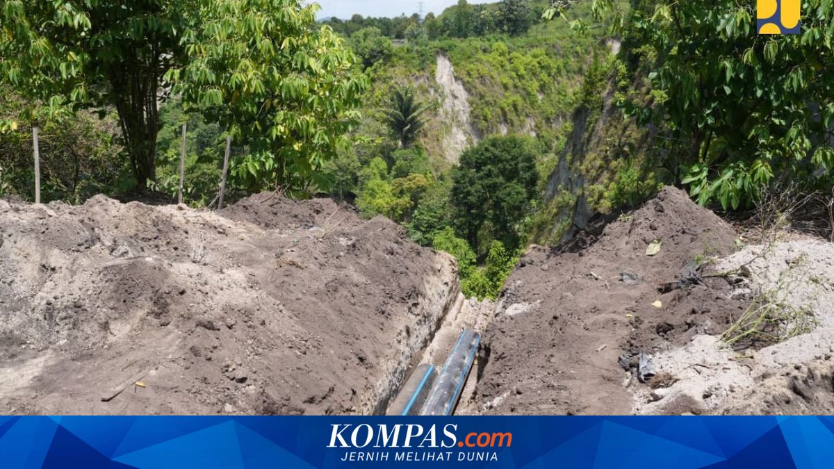
Jakarta — Water seepage that has penetrated into subsurface soil cavities is suspected to be the initial cause of a cliff collapse in Pondok Balik village, Ketol district, Central Aceh Regency, Aceh province. The water flow has caused underground cavities to expand and triggered progressive ground movement.
Public Works Minister Dody Hanggodo conducted a direct site inspection to assess the handling of the collapse on Monday, 9 March 2026. The inspection was undertaken as a follow-up to a previous visit in February 2026 and to implement the President’s directive that disaster management be conducted comprehensively and in an integrated manner.
Based on field monitoring, the length of roadway affected by the collapse has now reached approximately 175 metres. “Initially, there was water seepage beneath the surface that caused the hole to expand. It was even growing at around four metres per day beforehand. Now, we can see it has reduced significantly because the channels leading to the hole have begun to dry out,” Hanggodo stated.
According to him, the government continues to undertake technical measures to halt the collapse’s progression by controlling the water flow, which is one of the primary causes of the subsidence. “Several works have already been carried out by our teams based on technical assessments conducted jointly with expert teams from ITB and Unsyiah. We also received input from the Bener Meriah Regent, whom we have asked our team to review further, including the possibility of constructing a small reservoir,” he explained.
As the collapse has progressed, the intersection leading to the first detour road has been eroded, rendering that route unusable. Currently, public mobility has been redirected through two alternative routes: the second detour, approximately 2.2 kilometres long, and the third detour, approximately 5.3 kilometres long. Both routes have received temporary treatment in the form of road surface regrading and surfacing using laterite material, allowing passage for both two-wheeled and four-wheeled vehicles.
To strengthen the technical assessment, the Public Works Ministry has conducted various field data collection activities, including lidar surveys, borehole drilling at two points, geoelectric surveys along five lines, ground-penetrating radar, and visual observation to map the geological conditions of the area in greater detail.
Hanggodo stressed that safety is the paramount priority in handling the cliff collapse. Consequently, the Public Works Ministry is currently focusing efforts on stabilising conditions around the collapse site before undertaking permanent reinforcement. “What is most important now is to ensure that conditions around the collapse are truly stable and safe. We cannot rush work at the cavity point if there remains potential for ground movement. That is why our current focus is on reducing water flow and strengthening the slope first, before then undertaking permanent remediation to prevent the collapse from expanding further,” he concluded.