Riau Police Map Congestion-Prone Routes for 2026 Eid Holiday Exodus, Critical Points Identified
The Traffic Directorate of Riau Police has conducted mapping of routes prone to congestion and accidents during the 2026 Eid exodus period. This initiative aims to anticipate traffic density and ensure public safety during the festive holiday travel season.
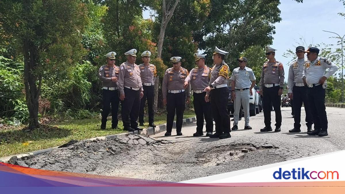
“We have identified several locations with the potential to cause congestion and traffic accidents. Through this mapping, we can prepare security measures, traffic management and engineering strategies more effectively to ensure that the public’s journey during the exodus remains safe, comfortable and smooth,” said Riau Police Traffic Directorate Commander Brigadier General Jeki Rahmat Mustika on Monday, 9 March 2026.
In anticipation, the Traffic Directorate has prepared various security strategies, including increased patrols at high-risk locations, installation of safety warning signs and banners, and preparation of alternative routes to alleviate potential congestion.
Additionally, security posts (pospam) and service posts (posyan) will be established at strategic locations to provide maximum service to the public, including rest facilities for drivers experiencing fatigue during travel.
“We want to ensure the public can travel home for the holiday safely and securely. Therefore we have also prepared service posts that can be utilised by the public to rest if they feel tired,” he added.
Based on the mapping results, several high-risk congestion points have been identified.
West Corridor (Pekanbaru to West Sumatra):
On the west corridor passing through Kampar Regency, several accident-prone points have been identified, including kilometre markers 82/83 at Pulau Gadang Village, XIII Koto District; KM 98 at Tanjung Alai Village, XIII Koto District; KM 17 at Rimbo Panjang Village, Tambang District; and KM 29 at Sei Pinang, Tambang District. Beyond accident risks, this route also faces potential vehicle congestion, particularly in community activity areas such as Kuok Market, Danau Bingkuang Market and Kampar Market, which are frequently crowded especially on weekends and before major holidays.
East Corridor (Pekanbaru to Jambi):
Along the east corridor passing through Pelalawan, Indragiri Hulu and Indragiri Hilir regencies, several high-risk points have been mapped, including KM 27 at Simpang Beringin Village, KM 44 at Kiyap Jaya Village, KM 68-69 at Pangkalan Kerinci, KM 82 at Kemang Village, and KM 120 at Pesaguan Village. Additional attention points include KM 17 at Redang Seko Village, Indragiri Hulu Regency and KM 278 at Masad Hamlet, Keritang Village, Indragiri Hilir Regency.
Central Corridor (Pekanbaru to Kuantan Singingi):
For the central corridor to Kuantan Singingi and West Sumatra, congestion is expected around Benai Market and KM 195 Lubuk Jambi Market. An accident-prone point is located at KM 131 Muara Lembu, Singingi District.
On the route from Pekanbaru to North Sumatra via Rokan Hilir Regency, congestion is anticipated in the Pajak Lama Bagan Batu area, damaged road sections at KM 18 and KM 6 Balam, and Tumpah Market in Ujung Tanjung. Several accident-prone points on this route include KM 31 in Balai Jaya District, KM 21 Balam at Bangko Sempurna Village, KM 6 Balam at Bangko Permata Village, and Batang Junction in Rantau Bais Village, Tanah Putih District.