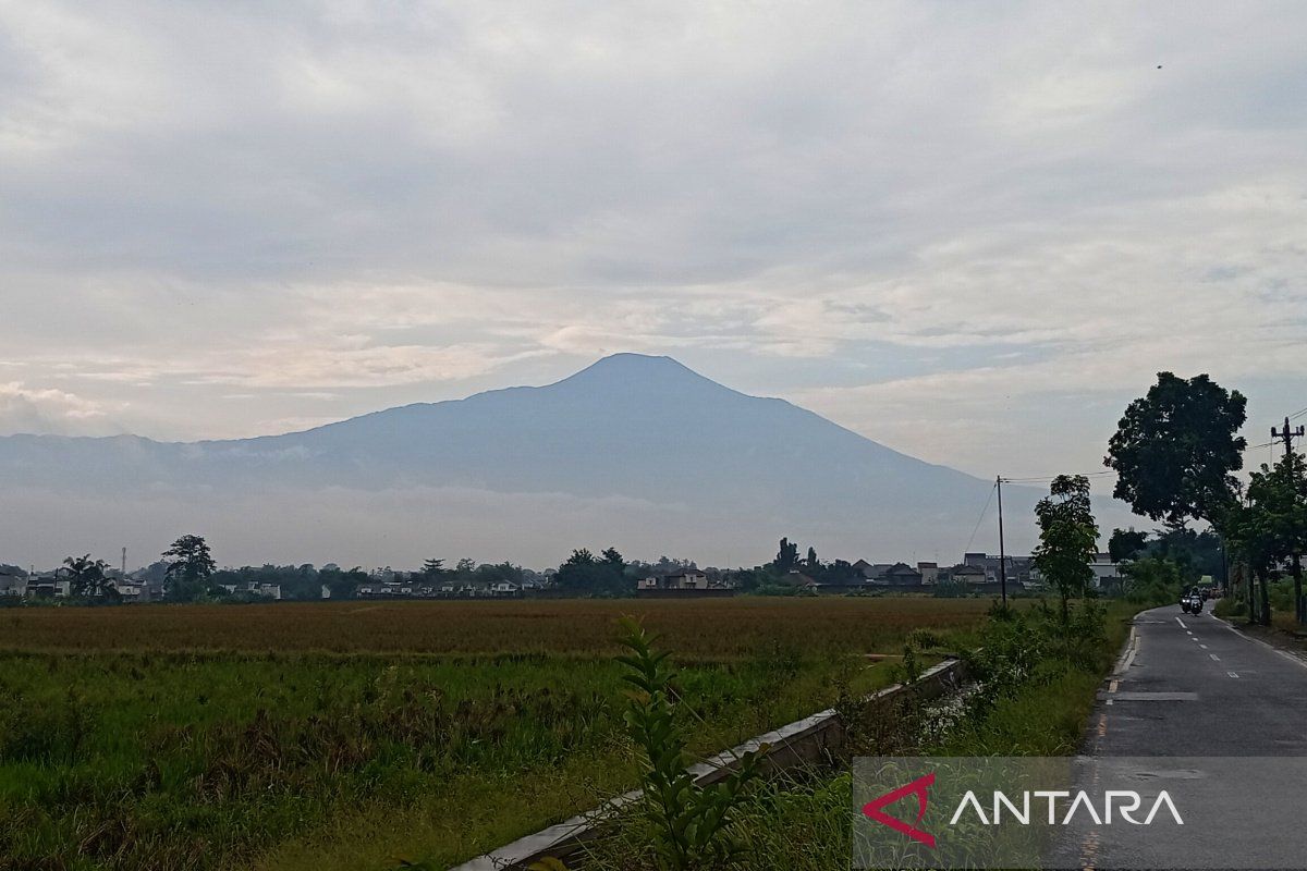
PVMBG Expands Safe Zone Boundary Around Mount Slamet's Summit Crater
Purwokerto (ANTARA) - The Centre for Volcanology and Geological Hazard Mitigation (PVMBG) has expanded the safe zone around the summit crater of Mount Slamet in Central Java from two kilometres to three kilometres amid increasing volcanic activity on the mountain.
Contacted from Purwokerto, Banyumas Regency, on Saturday afternoon, the Head of the Mount Slamet Volcano Observatory Post (PGA), Muhammad Rusdi, stated that the policy is outlined in Special Report Number 631.Lap/GL.03/BGL/2026 on Changes to the Recommended Distance for Mount Slamet Volcano, dated 4 April 2026, signed by Acting Head of the Geological Agency, Lana Saria. The decision was based on recent visual and instrumental monitoring results.
According to him, the increase in activity has been detected since the end of March 2026, beginning with patterned earthquakes, followed by monitoring using aerial imagery via drone.
“From the monitoring results, there are indications of a significant temperature rise in the crater area,” he said at the PGA Slamet Post in Gambuhan Village, Pulosari Subdistrict, Pemalang Regency.
“If you need further information regarding Mount Slamet’s activity, please contact us or the Regional Disaster Management Agency (BPBD) in your respective areas,” Rusdi added.
Meanwhile, in Special Report Number 631.Lap/GL.03/BGL/2026 on Changes to the Recommended Distance for Mount Slamet Volcano, dated 4 April 2026, Acting Head of the Geological Agency Lana Saria stated that PVMBG has officially expanded the recommended safe distance around the summit crater to three kilometres.
The report mentions that the increased activity is marked by visual changes and instrumental data, including white gas emissions reaching about 300 metres above the crater observed since 3 April 2026.
This condition indicates degassing activity or the release of magmatic gases from within the mountain.
From the seismic perspective, between 16 March and 3 April 2026, hundreds of gas-related earthquakes and low-frequency earthquakes were recorded, occurring fluctuatively but tending to increase since the end of March.
This activity is related to the increased magmatic gas pressure within the mountain’s body, also indicated by deformation monitoring results showing magma movement towards shallower depths.
“The current potential hazards include eruptions that could produce volcanic ash, mud rains, incandescent material ejections around the summit, and high-concentration volcanic gas emissions limited to the crater area,” Lana stated in the report.
Nevertheless, Mount Slamet’s activity status remains at Level II or Alert.
PVMBG urges the public, hikers, and tourists not to engage in activities within a three-kilometre radius of the summit crater and to continue following official information from the authorities.
Intensive monitoring continues, and the activity status will be reviewed promptly if significant changes occur visually or seismically.
PVMBG raised Mount Slamet’s status from Level I (Normal) to Level II (Alert) on 19 October 2023 due to increased volcanic activity on Central Java’s highest mountain.