Old Land Certificates Missing from Digital Maps, Duplicate Freehold Title Risks Looming
Cases of duplicate freehold title certificates (SHM) continue to be a recurring issue across various regions in Indonesia. One of the key contributing factors is the large number of land plots classified under KW4, KW5, and KW6 in the national land data.
Minister of Agrarian Affairs and Spatial Planning/National Land Agency (ATR/BPN) Nusron Wahid previously stated that duplicate SHM cases are influenced by multiple factors, ranging from administrative errors to outdated land registration systems.
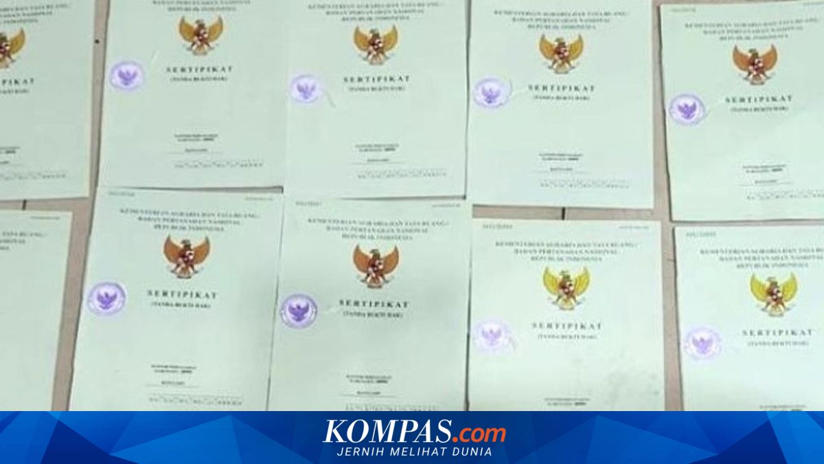
Land disputes involving duplicate title certificates are commonly found in older certificates issued between 1960 and 1987.
During this period, land certificates lacked accurate cadastral maps, leading to discrepancies between BPN administrative records and on-ground realities.
“What’s the boundary? A road? What’s the shape? There’s nothing—just a land sketch. No address,” Nusron said on Friday, 29 May 2026.
The ATR/BPN ministry explained that KW4, KW5, and KW6 categories refer to land plots not fully mapped within the digital land system.
Such issues are typically found in land certificates issued before the implementation of modern digital mapping and spatial data integration systems.
Consequently, the location and boundaries of land plots may lack precision, creating opportunities for overlapping ownership and duplicate SHM issuance.
Furthermore, older land certificates issued between 1961 and 1997 have not been fully integrated into the digital land data system, leading to significant potential for ownership conflicts.
“The high number of conflicts and public complaints stems from the lack of historical cadastral digitisation,” said Shamy Ardian, Head of the Ministry of ATR/BPN’s Bureau of Public Relations and Protocol.
Before the modern land registration system was implemented, many certificates were issued without precise coordinates on cadastral maps.
As a result, a single plot of land may be recorded in an inaccurate location or even overlap with another plot.
“The high number of conflicts and public complaints stems from the lack of historical cadastral digitisation,” Shamy added.
For context, BPN’s cadastral maps are large-scale maps containing spatial and legal data on land plot positions, boundaries, sizes, and shapes.