Mount Tambora Alert Status Raised; Residents Urged to Avoid 3 km Radius
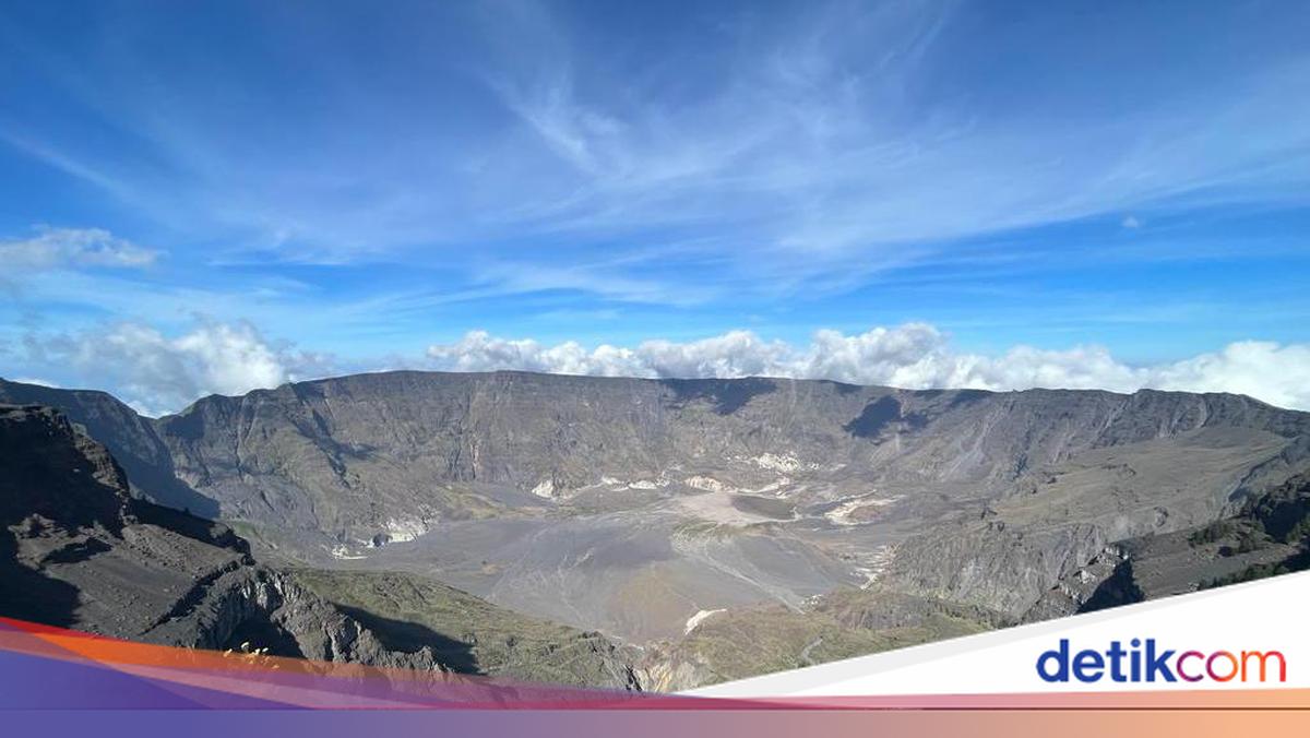
Indonesia’s Geological Agency, under the Ministry of Energy and Mineral Resources (ESDM), has raised the alert status of Mount Tambora in West Nusa Tenggara (NTB) from Level I (normal) to Level II (alert). Residents have been instructed not to conduct activities within a three-kilometre radius of the volcano’s centre.
The increase in Mount Tambora’s activity from normal to alert status was determined following special report number 525..Lap/GL.03/BGL/2026, issued by the Geological Agency of the Energy and Mineral Resources Ministry.
“Mount Tambora, administratively located in Dompu and Bima districts, NTB, has shown an increase in volcanic activity,” said the Head of the Geological Agency, Lana Saria.
Lana explained that the increase in activity is primarily evidenced by a rise in seismic events associated with magma movement from deeper levels toward the magma chamber beneath the volcano. Based on seismic monitoring data, 267 volcanic earthquake events (VA) were recorded in January 2026.
“In February 2026, the number of volcanic earthquakes increased significantly to 453 events,” he stated.
According to him, the rise in volcanic earthquakes indicates an increase in magmatically related fluid pressure and magma supply from depths toward the shallower magma system beneath Mount Tambora. Seismic data from 1–9 March 2026 also shows sustained intense seismic activity.