Mount Semeru erupts with ash columns reaching 600 metres above summit
Lumajang, East Java — Mount Semeru, located on the border between Lumajang and Malang districts in East Java, experienced four eruptions with ash columns reaching 600 metres above the summit on Thursday.
The first eruption occurred at 00:27 WIB with unobserved visual activity, followed by a second eruption at 00:31 WIB, also with no observed visual display.
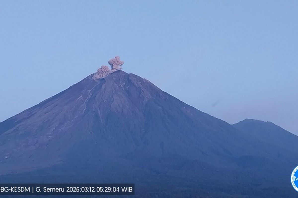
“Mount Semeru erupted again at 05:28 WIB with an observed ash column height of approximately 600 metres above the summit, or about 4,276 metres above sea level,” said Liswanto, an observer at the Mount Semeru Observation Post, in a written report received in Lumajang on Thursday.
He noted that the ash column displayed white to grey colouration with moderate intensity directed northwards.
Just 18 minutes later, Java’s highest mountain erupted for the fourth time at 05:46 WIB, with an observed ash column height of approximately 300 metres above the summit (3,976 metres above sea level).
“The ash column displayed white to grey colouration with moderate intensity directed northwards,” he stated.
Liswanto explained that Mount Semeru was on alert level III volcanic activity status, prompting the Centre for Volcanology and Geological Hazard Mitigation (PVMBG) to issue several recommendations. The public is prohibited from conducting any activities in the southeastern sector along Besuk Kobokan river, within 13 kilometres of the summit (eruption centre).
Beyond this distance, he said, the public must not conduct activities within 500 metres of river banks along Besuk Kobokan due to the potential for hot cloud expansion and lahars extending up to 17 kilometres from the summit.
“The public is also prohibited from conducting activities within a five-kilometre radius of Mount Semeru’s crater or summit, due to vulnerability to flying rocks and incandescent material,” he stated.
Communities should remain vigilant regarding potential hot clouds, lava flows, and lahars along all river valleys and watercourses with headwaters at Mount Semeru’s summit, particularly along Besuk Kobokan, Besuk Bang, Besuk Kembar, and Besuk Sat, as well as potential lahars in smaller tributary streams of Besuk Kobokan.