Mount Semeru Erupts Four Times, Eruption Column Reaches 600 Metres
Mount Semeru, located on the border of Lumajang and Malang regencies in East Java, experienced four eruptions. The eruption column reached 600 metres above the peak.
According to the Antara news agency on Thursday, 12 March 2026, the first eruption occurred at 00:27 WIB with no visual observation of the eruption. Another eruption followed at 00:31 WIB, also with no visual observation.
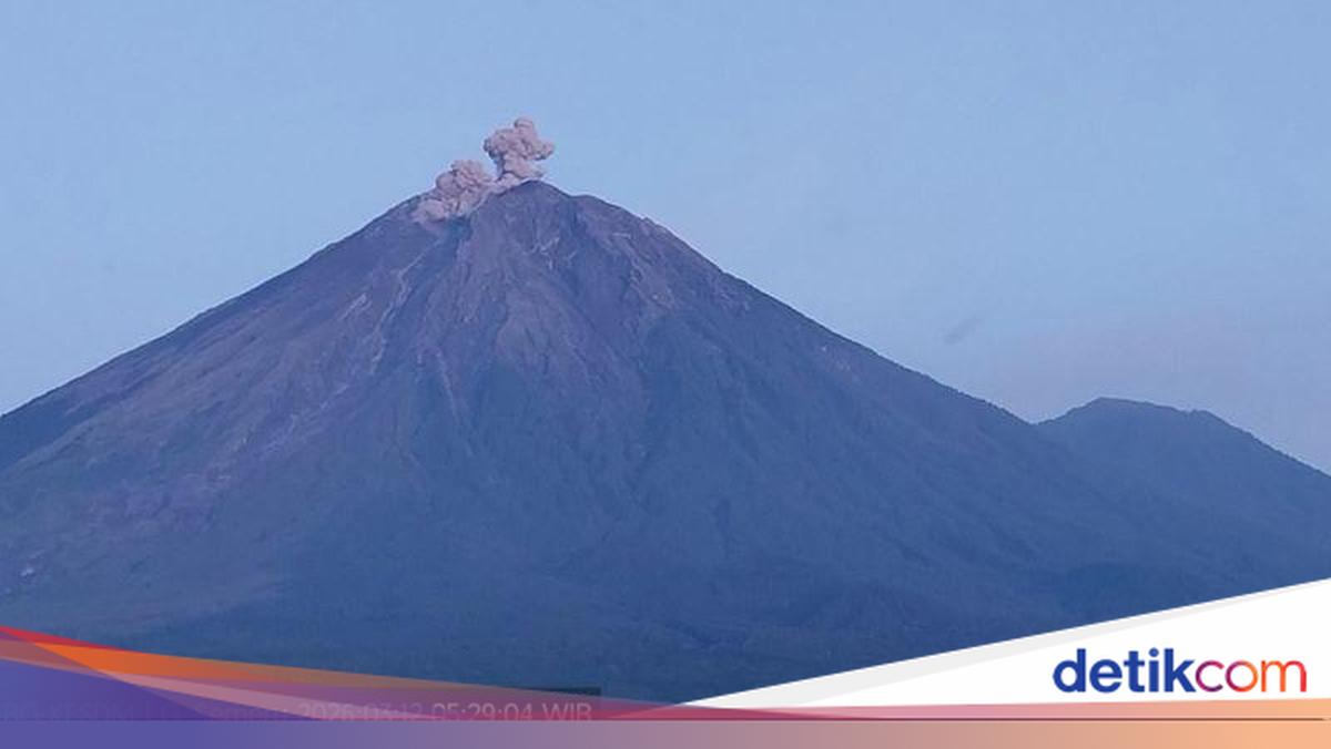
“Mount Semeru erupted again at 05:28 WIB with an observed eruption column height of approximately 600 metres above the peak, or approximately 4,276 metres above sea level,” said Liswanto, an officer at the Mount Semeru Observation Post, in a written report received in Lumajang.
Liswanto stated that the ash column was observed to be white to grey in colour with moderate intensity towards the north. Then at 05:46 WIB, Semeru erupted again with an observed eruption column height of approximately 300 metres above the peak (3,976 metres above sea level).
“The ash column was observed to be white to grey in colour with moderate intensity towards the north,” he said.
Liswanto explained that Mount Semeru is at Alert Level III (Siaga) for volcanic activity. The Centre for Volcanology and Geological Hazard Mitigation (PVMBG) has issued several recommendations, stating that the public must not conduct any activities in the southeastern sector along Besuk Kobokan, within 13 kilometres from the peak (eruption centre).
Beyond that distance, he said, the public must not conduct activities within 500 metres of the river bank (river boundary) along Besuk Kobokan because of the potential for hot clouds and lava flows to reach up to 17 kilometres from the peak.
“The public is also prohibited from conducting activities within a five-kilometre radius from the crater/peak of Mount Semeru, as there is a risk of being struck by ejected rocks (incandescent fragments),” he said.
The public was also urged to be alert to the potential for hot clouds, lava collapses, and lahars along river channels and valleys with headwaters at the peak of Mount Semeru.
“Particularly along Besuk Kobokan, Besuk Bang, Besuk Kembar, and Besuk Sat, as well as the potential for lahars in small rivers that are tributaries of Besuk Kobokan,” he said.