Mount Semeru erupts again with eruption column reaching 800 metres
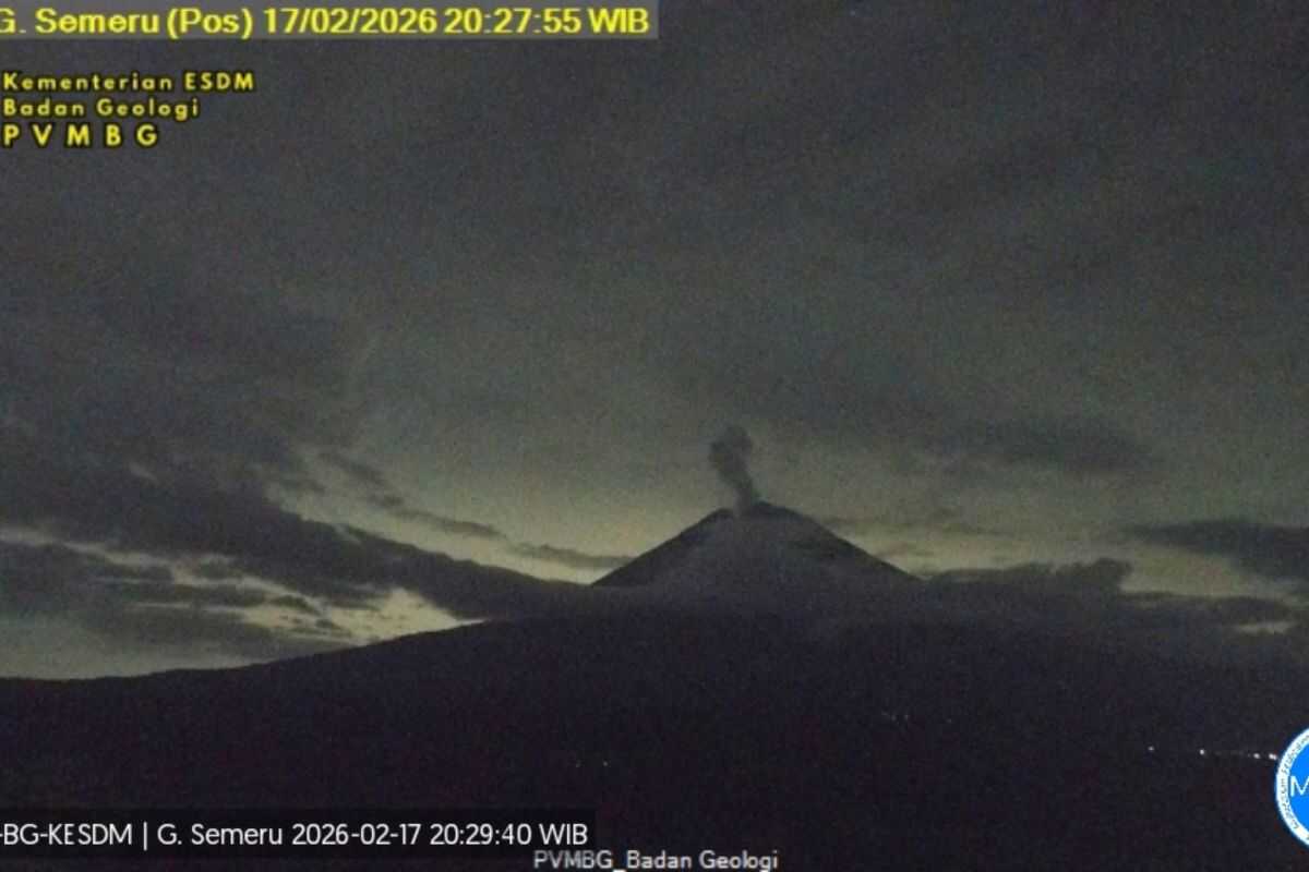
Lumajang, East Java (ANTARA) — Mount Semeru, located on the border of Lumajang and Malang regencies in East Java, erupted again on Tuesday evening with an eruption column reaching 800 metres above the summit.
“An eruption of Mount Semeru occurred at 21:50 WIB with the observed eruption column height of approximately 800 metres above the summit, or 4,476 metres above sea level,” said Sigit Rian Alfian, an officer at the Mount Semeru Observation Post, in a written report received in Lumajang.
The volcanic ash column was observed to be white to grey in colour with thick intensity drifting eastward and southeastward.
“The eruption was recorded on the seismograph with a maximum amplitude of 21 mm and a duration of 119 seconds,” he said.
According to records kept by officers, Mount Semeru erupted a total of eight times on Tuesday, with the first eruption occurring at 00:17 WIB. The visual aspect of that eruption was not observed as it was obscured by fog.
He explained that Mount Semeru is at volcanic activity Level III (Alert) status, and as such the Centre for Volcanology and Geological Hazard Mitigation (PVMBG) has issued a number of recommendations, namely that the public must not carry out any activities in the southeastern sector along Besuk Kobokan, within 13 kilometres of the summit (eruption centre).
Beyond that distance, he said, the public must not carry out activities within 500 metres of the riverbank along Besuk Kobokan due to the potential for pyroclastic flow expansion and lahars reaching up to 17 kilometres from the summit.
“The public is also prohibited from carrying out activities within a 5-kilometre radius of the crater/summit of Mount Semeru, as it is vulnerable to the danger of incandescent rock projectiles,” he said.
Residents need to be alert to the potential for pyroclastic flows, lava falls, and lahars along river courses and valleys originating at the summit of Mount Semeru, particularly along Besuk Kobokan, Besuk Bang, Besuk Kembar, and Besuk Sat, as well as the potential for lahars in smaller rivers that are tributaries of Besuk Kobokan.