Magnitude 7.1 earthquake in Sabah poses no tsunami risk for North Kalimantan
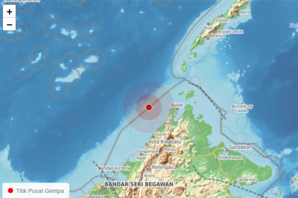
Tarakan (ANTARA) — A tectonic earthquake that struck in the early hours of Monday at 01:57:46 Central Indonesian Time (WITA) north of Sabah, Malaysia, poses no tsunami risk for the North Kalimantan (Kaltara) region.
The Meteorology, Climatology and Geophysics Agency (BMKG) stated that analysis indicated the earthquake had a magnitude of 7.1.
Based on the epicentre location and hypocentre depth, the earthquake was classified as a deep earthquake resulting from deformation activity within the Philippine Sea Plate.
The earthquake exhibited an oblique thrust-fault mechanism.
Based on analysis of ground acceleration measurements and shake map modelling, the earthquake generated tremors in the Nunukan area at an intensity of III on the Modified Mercalli Intensity (MMI) scale, meaning vibrations were clearly felt indoors, resembling the sensation of a passing lorry.
Meanwhile, the Tarakan area experienced tremors at intensity II MMI, where vibrations were felt by some people and light hanging objects swayed.
Modelling results confirmed that the earthquake posed no tsunami risk.