Karawang Subsurface Surveyed for Active Fault Lines
Jakarta — The subsurface activity in Karawang is now under close monitoring. The Geological Survey Agency of the Ministry of Energy and Mineral Resources (ESDM) is conducting a preliminary survey to map active fault lines in Karawang Regency.
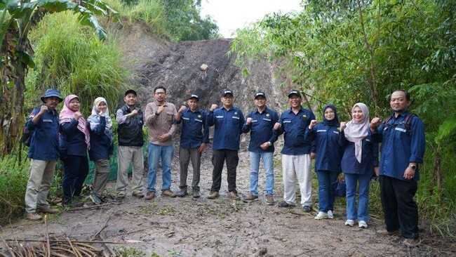
The monitoring activity was directly overseen by the Head of the Geological Survey Centre on Saturday, 14 February 2026. The monitoring was carried out to ensure technical readiness of the team, effectiveness of working methods, and completeness of field equipment before the survey expands further.
This survey is not without reason. Regionally, the Karawang and Purwakarta area is influenced by the Baribis Thrust Fault system, part of Java’s back-arc thrust mechanism. This geological structure is known to have complex tectonic dynamics and potential to trigger crustal deformation.
According to the ESDM Ministry’s official website, the thematic mapping team conducted surface geological data acquisition combined with Ground Penetrating Radar (GPR) surveys. Additionally, interpretation of seismic reflection data from available transects was analysed to assess the possibility of active fault presence.
This step was taken because seismicity patterns based on Passive Seismic Tomography (PST) data and earthquake releases from the Meteorological, Climatological, and Geophysical Agency show that earthquake activity is not concentrated along a single structural pathway. This suggests the possibility of fault segmentation or even other structures at play, particularly in northern Karawang which is dominated by relatively thick Quaternary deposits.
The combination of surface geological observation and geophysical approaches is considered important for comprehensively tracing subsurface deformation indicators. The survey results are expected to provide a scientific basis for further studies regarding the character of active deformation in the region.
Additionally, the collected data will also support geological hazard potential mapping as part of disaster mitigation efforts and safer regional development planning. Through this survey, the government aims to ensure that development in Karawang’s industrial and residential zones continues to account for geological risks that may lie hidden beneath the surface.