Kalimantan Not Immune to Earthquakes, This Ancient Fault Suddenly Emerges
Jakarta, CNBC Indonesia - Several seismology experts warn that the Kalimantan region is becoming increasingly risky for earthquakes, particularly after the magnitude 5.0 shock that struck Kayan Hilir, Sintang, West Kalimantan on Friday (13/3/2026) at 03:04:04 WIB.
The earthquake, which was also felt by residents in the Sintang, Sanggau, Katingan, and Melawi areas, as well as several other regions in West Kalimantan and Central Kalimantan, shatters the assumption that Kalimantan is almost free from earthquakes.
Before the magnitude 5.0 earthquake, on 23 January 2026, Kalimantan was also shaken by an earthquake of magnitude 4.8. Since 2019, specifically on 27 March, an earthquake also occurred with a smaller magnitude of 3.1, and 3.0 on 22 February 2026.
Member of the National Earthquake Study Centre (PUSGEN), Daryono, acknowledges that the frequency of earthquakes in Kalimantan is still much lower compared to other islands scattered across Indonesia, such as Sumatra, Java, and Sulawesi. However, this does not mean the island is sterile from earthquake disasters.
“Compared to other regions in Indonesia such as Sumatra, Java, and Sulawesi, which are located around active subduction/megathrust zones, seismic activity in Kalimantan is indeed much lower. Nevertheless, the low frequency of earthquakes does not mean this region is completely free from tectonic activity,” Daryono emphasised in a written statement quoted on Sunday (22/3/2026).
Daryono, on that occasion, emphasised that although the probability of a major earthquake is minimal in Kalimantan, the principle of caution is still necessary because shallow crustal earthquakes can cause significant impacts if they occur near settlements or vital facilities. Modern infrastructure, industrial areas, and developing cities in Kalimantan, he stressed, still require a risk-based mitigation approach.
Daryono mentioned that one source of earthquakes in Kalimantan that needs attention is the Adang Fault. This fault is strongly suspected to be the trigger for the earthquake on Friday (13/3/2026).
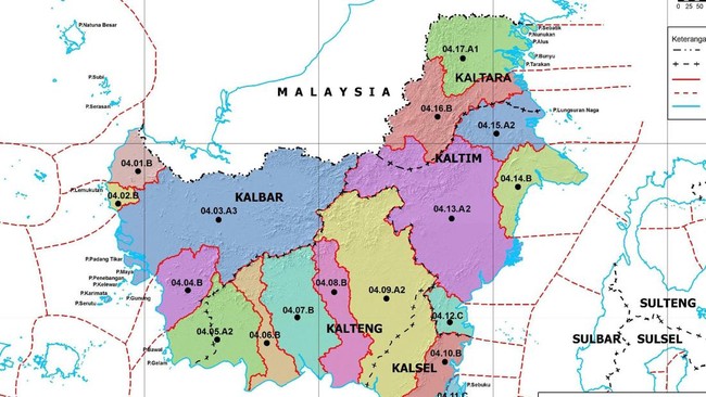
The Adang Fault is a regional fault structure that stretches across Kalimantan Island from the east coast to the northwest part of the island. According to Daryono, the Adang Fault extends to the Lupar area, which is the border between West Kalimantan and Sarawak near the city of Kuching.
“The age status of the Adang Fault is generally interpreted as an ancient fault that has developed since the Tertiary period, not a highly active Quaternary fault like many faults in Java or Sumatra,” he emphasised.
The man, who also serves as Vice Chairman of the Indonesian Disaster Experts Association (IABI), revealed that the Adang Fault route begins from the Adang Bay area around Paser Regency in East Kalimantan.
From there, its path continues into the island’s interior towards the Sintang, Sekadau, and Sanggau regions. This fault is then estimated by Daryono to continue towards the border area around Entikong and connect with the geological structure system in the Kuching, Sarawak area.
According to Daryono, there are two interpretations regarding the Adang Fault. The first is the theory that the Adang Fault forms a continuous, uninterrupted line from the South China Sea to Sulawesi.
Meanwhile, the second theory states that the Adang Fault in East Kalimantan is not connected to the Lupar Line in West Kalimantan. According to this second theory, it is not Adang-Lupar because there is no field trace evidence or remote sensing data.
Regardless, Daryono emphasised that the characteristics of earthquakes sourced from local faults like the Adang Fault are usually different from megathrust earthquakes in subduction zones. For example, their magnitude tends to be smaller, but their depth is shallow, so the potential for local shaking can be relatively significant.
“Like the earthquake on Friday (13/3/2026), which caused residents to wake up and run out of their houses in panic. In this context, the earthquake threat in Kalimantan is more local and sporadic, not large earthquakes that frequently occur like in western Indonesia,” he explained.
Although its activity is not as active as major faults in other parts of Indonesia, the existence of the Adang Fault, according to Daryono, is still reflected in the occasional small to medium earthquakes that occur in Kalimantan.
“Several local earthquakes recorded in West Kalimantan, particularly around Sintang and Sekadau, are often associated with this fault’s activity. These earthquakes generally have small to medium magnitudes, but because they originate from shallow sources in the earth’s crust, as shallow crustal earthquakes, their shaking can feel quite strong in areas around the epicentre,” he said.
With this note, Daryono considers the Adang Fault as a reminder that Kalimantan’s tectonic stability is relative, not absolute. Its seismic activity is indeed rare and generally small, but its presence still indicates that earth’s dynamic processes are ongoing beneath the island, which has long been considered the most stable in Indonesia.
“Awareness of the potential for local earthquakes is an important part of building a safe and resilient Kalimantan against disasters,” Daryono emphasised.
On that occasion, Daryono also emphasised that the low seismic activity in Kalimantan is inseparable from the island’s position in the interior of the Sunda Shelf, far from active plate boundaries.
Unlike Sumatra and Java, which are directly influenced by the interaction between the collision of the Indo-Australian Plate and the Eurasian Plate, Kalimantan is located in a relatively stable crustal area. As a result, the tectonic deformation that occurs is weaker and rarely triggers major earthquakes.
“However, ancient fault structures like the Adang Fault can still experience reactivation due to regional stresses acting on the earth’s crust,” said Daryono.