GPS Made 'Erratic', Iran Uses Chinese-Made System Which is More Accurate
GPS signal disruptions have been occurring continuously since the US-Israel-Iran war broke out on 28 February 2026. Ships in the Persian Gulf have experienced unusual manoeuvres since that day.
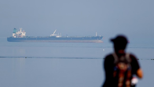
Data analysis firm Kpler has recorded thousands of cases of oil tankers in the Persian Gulf manipulating Automatic Identification System (AIS) signals. This method, known as spoofing, disguises ship movements to avoid Iranian oil export sanctions.
However, similar location falsifications continue to rise dramatically. Kpler found that the location data from these ships showed them sailing over land and making sharp turns in polygonal paths.
Maritime intelligence firm Windward recorded more than 1,100 different ships in the Gulf experiencing AIS disruptions. A week later, the increase reached 55%.
This incident reveals the major vulnerability of GPS, which is a US-made system. Meanwhile, Clayton Swope, deputy director of the CSIS Aerospace Security Project, explained there are various reasons for disrupting GPS signals.
“There are many parties trying to disrupt GPS signals, or other satellite navigation signals in this region for various reasons,” Swope said, quoted from CNBC International on Wednesday (1/4/2026).
He explained that additional disruptions to satellite navigation signals are likely from Gulf states. The reason is to protect critical infrastructure from enemy attacks, such as drones and missiles.
A CSIS report revealed that similar electronic disruptions are often used as retaliatory measures in several modern wars. One example was seen in Russia’s attack on Ukraine in 2022.
However, this disruption impacts various aspects of life. One of them makes aircraft appear to fly in irregular wavy patterns, while land-based GPS malfunctions show food deliveries appearing off the coast of Dubai.
Even GPS Innovation Alliance executive director Lisa Dyer spoke about even broader impacts. Namely, signal spoofing can create major concerns regarding public safety.
Meanwhile, Iran is reported to be using China’s BeiDou satellite system. This access allows the country to have greater accuracy in attacks.
“There is now evidence that Iran has been given access to China’s BeiDou. This gives Iran greater accuracy in missile strikes and targeting,” said Jack Hidary, CEO of navigation technology startup SandboxAQ.
Similar reports have been published previously, such as by Al Jazeera. According to the report, Iran’s strike accuracy appears to use BeiDou.