Geological Agency Records 50-Second Eruption Tremors at Mount Ibu in North Maluku
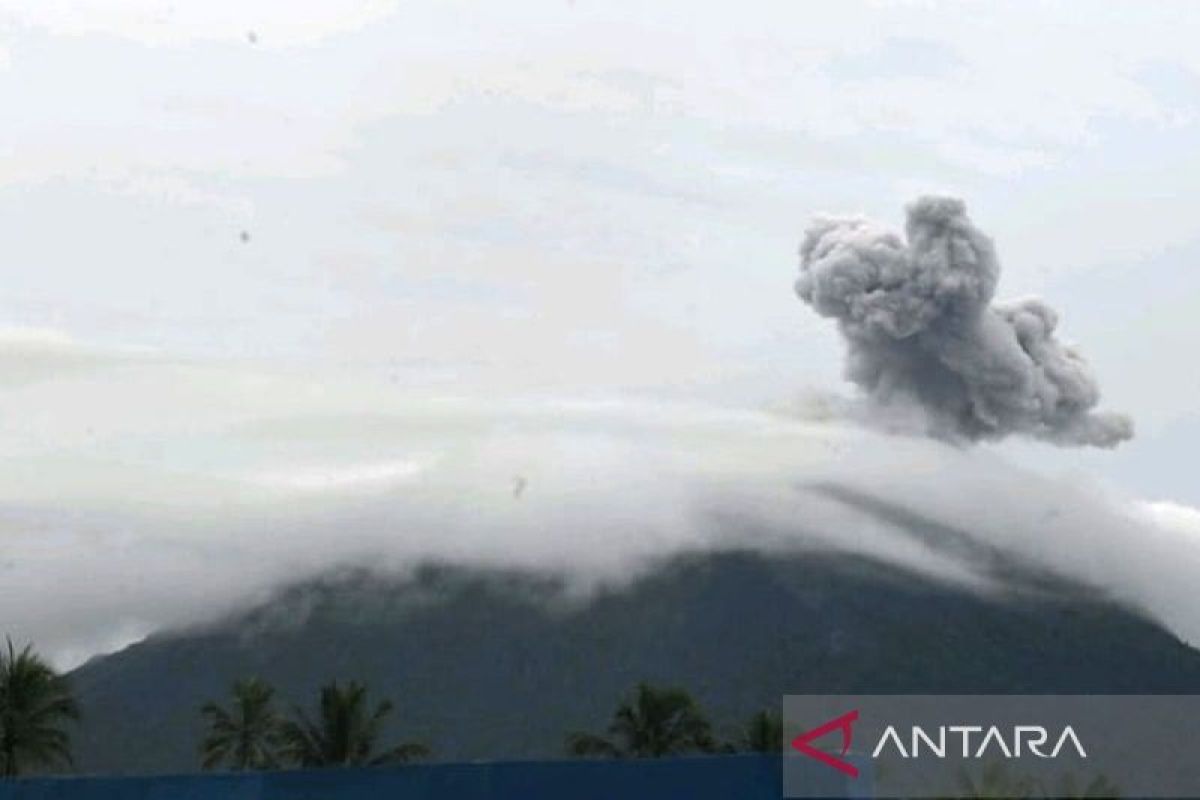
Jakarta — The Geological Agency of the Ministry of Energy and Mineral Resources recorded an eruption of Mount Ibu in West Halmahera District, North Maluku, with seismic tremors registered on seismographs for approximately 50 seconds on Friday afternoon.
“At 11:42 Wita, the eruption was recorded on seismograph equipment with a maximum amplitude of 28 millimetres and vibration duration of approximately 50 seconds,” said Acting Head of the Geological Agency Lana Saria in a statement in Jakarta on Friday.
Although volcanic ash ejected from the eruption could not be observed by monitoring post personnel, the activity continues to meet the alert criteria for Mount Ibu, which maintains a Level II Alert status.
The Geological Agency recommended that residents in the vicinity of Mount Ibu, as well as visitors and tourists, refrain from activity within a 2-kilometre radius of the active crater.
Should ash fall occur, residents working outside their homes are advised to wear protective equipment for the nose and mouth, including masks, and eye protection such as spectacles.
The Geological Agency also called on residents to maintain a conducive situation, avoid spreading information from unclear sources, and follow directions from local government authorities.
The West Halmahera District Government has been requested to continue coordinating with the Centre for Volcanology and Geological Hazard Mitigation and the Mount Ibu Observation Post in Gam Ici Village, West Halmahera District, North Maluku, to obtain the latest information regarding volcanic activity.