Geological Agency: Mount Semeru's Volcanic Activity Remains High
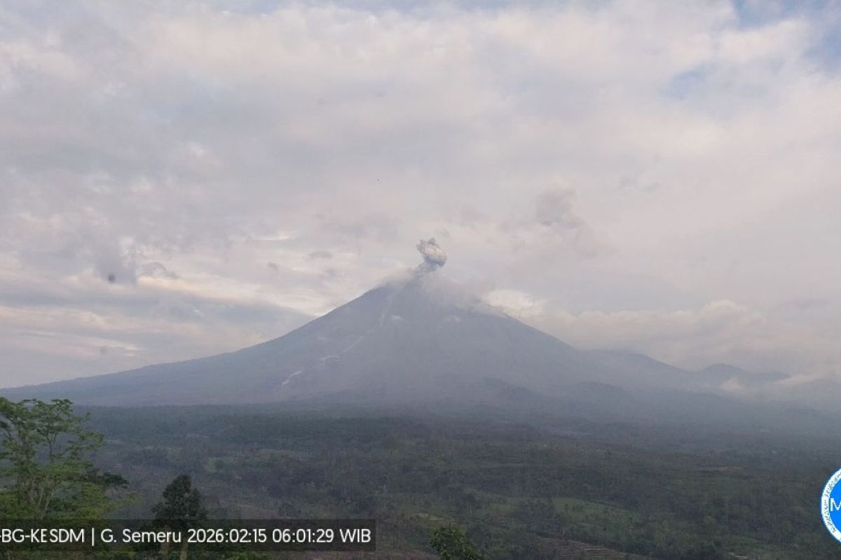
Lumajang, East Java (ANTARA) — Acting Head of the Geological Agency Lana Satria said volcanic activity at Mount Semeru, on the border of Lumajang and Malang regencies in East Java, remains high, as indicated by recurring pyroclastic flow events during the observation period of February 1–14, 2026.
Based on visual and instrumental monitoring results on Saturday (February 14), two pyroclastic flow events were observed with run-out distances reaching 6,000 meters from the summit toward the southeast.
Additionally, during the February 1–13, 2026 period, pyroclastic flows were also observed several times with run-out distances of 2,500–4,000 meters accompanied by material collapse activity.
Seismic activity was dominated by eruption tremors, collapse tremors, emission tremors, and harmonic tremors. The recorded earthquakes indicate that there is still subsurface supply beneath Mount Semeru concurrent with the release of material to the surface through eruptions and emissions.
Tiltmeter monitoring data from the Argosuko Tiltmeter Station on the radial component shows acceleration or rapid changes, interpreted as a local mechanical response in the shallow system.
Based on the analysis and evaluation results, Mount Semeru’s activity level remains at Level III (Alert) with the primary recommendation that the public not conduct activities within a 5-kilometer radius of the Jonggring Seloko crater.
Additionally, the public must not enter the southeast sector up to 13 kilometers from the summit toward the southeast, which may extend up to 17 kilometers along the Besuk Kobokan drainage. The public is also urged to remain vigilant against potential pyroclastic flows, lava collapses, and lahars along river channels and valleys originating at Mount Semeru’s summit, particularly along Besuk Kobokan, Besuk Bang, Besuk Kembar, and Besuk Sat, as well as potential lahars in smaller rivers that are tributaries of Besuk Kobokan.