First Day of Operation Ketupat 2026: Precision ETLE Drone Patrol Monitors Cikampek Toll Road
The Indonesian National Police Traffic Corps (Korlantas Polri) conducted traffic flow monitoring through the deployment of precision ETLE drone technology along the Cikampek toll road. Several strategic locations on the toll road reported smooth traffic conditions.
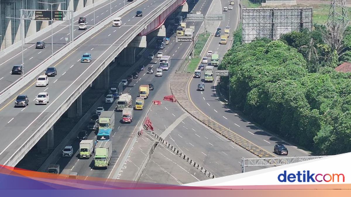
The traffic monitoring operation was carried out on Friday, 13 March 2026. The aerial monitoring activity was conducted at multiple strategic points serving as primary vehicle mobility corridors, including the MBZ Elevated Road, toll command centre exit at kilometre 29, Kaliurip at kilometre 68, and Cikatama at kilometre 70.
The deployment of precision ETLE drone technology aims to directly monitor vehicle congestion conditions, ensure smooth travel for the public, and support real-time surveillance of road user activities from the air.
This operation forms part of the implementation of directives issued by Korlantas Polri Deputy Commander Inspector General Agus Suryonugroho to ensure optimal security, safety, order, and smooth traffic conditions during Operation Ketupat 2026, particularly on major routes used by the public.
Operational oversight was conducted under the supervision of Korlantas Polri’s Law Enforcement Director (Dirgakkum) Brigadier General Faizal, who directed surveillance strategy and optimisation of digital technology-based law enforcement in the field.
Meanwhile, operational technical support was provided by Korlantas Polri’s Law Enforcement Subdirectorate for Road Traffic Control (Kasubdit Dakgar Ditgakkum) Senior Commissioner Dwi Sumrahadi Rakhmanto, who ensured the precision ETLE drone system operated effectively and remained integrated with traffic control centres.
Through regular aerial monitoring, officers gained comprehensive insight into vehicle flow dynamics across the Cikampek toll road. Drone technology enables large-scale area surveillance that is both swift and accurate, allowing potential congestion and traffic obstacles to be identified and addressed responsively by field officers.
Based on aerial monitoring results, traffic conditions at several observation points showed busy but smooth flow, with no significant obstacles identified that could cause congestion. Vehicle activity remained well-distributed throughout the toll corridor, maintaining controlled traffic flow conditions.
Beyond serving as a vehicle flow monitoring tool, the precision ETLE drone system was positioned to detect various potential traffic violations that could endanger road user safety. Visual data generated from aerial surveillance provided crucial support for officers to take swift and appropriate action in traffic management and enforcement when necessary.