El Niño Looming, Forest and Land Fire Prevention Agency Steps Up Prevention Efforts
Jakarta – The Forest and Land Fire Prevention Agency (Dalkarhut) for the Jabalnusra region of the Ministry of Forestry is strengthening efforts to prevent forest and land fires (karhutla) across West Java following predictions that El Niño conditions may occur in mid-2026. Prevention measures are being implemented through increased patrols, the development of fire-aware communities (MPA), and satellite-based hotspot monitoring.
Kurniawati Negara, Head of Regional Section I at Dalkarhut Jabalnusra, stated that prevention is the primary strategy because the majority of forest and land fires in Indonesia are triggered by human activity.
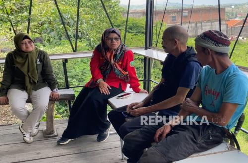
“Forest areas with no human presence rarely experience fires. In Indonesia, nearly 99 per cent of forest and land fires are triggered by human activity,” Kurniawati said in an interview with Republika in Bandung, West Java, on Thursday 12 March 2026.
Regional Section I of Dalkarhut covers DKI Jakarta, Banten, and West Java provinces. Among these three regions, West Java has the highest incidence of forest and land fires, making it the focus of prevention activities.
Dalkarhut data shows that the total area affected by forest and land fires in Banten, DKI Jakarta, and West Java during 2018–2025 reached approximately 35,770 hectares. In West Java, areas showing the largest fire damage include Majalengka District with approximately 9,028 hectares, Indramayu with approximately 8,159 hectares, and Subang with approximately 3,970 hectares.
Trends in fire-affected areas in West Java also show fluctuations influenced by climatic conditions. In 2019, the fire-affected area reached approximately 9,554 hectares, coinciding with El Niño conditions. After declining during 2020–2022, the fire-affected area increased again in 2023 to approximately 11,524 hectares before falling to approximately 4,548 hectares in 2024 and approximately 1,610 hectares in 2025.
Kurniawati stated that this pattern demonstrates that dry climatic conditions can increase fire risk, making it necessary to strengthen prevention measures early on.
“Because prevention is better than suppression. Therefore, our activities are focused on villages with high fire vulnerability,” Kurniawati said.
One key strategy is strengthening coordination with fire-aware communities (MPA), which serve as the frontline in controlling forest and land fires at the grassroots level. Currently, approximately 30 MPA groups have been established within Dalkarhut Regional Section I’s working area.
Beyond group formation, Dalkarhut also provides training to MPA through fire prevention training, instruction on firefighting equipment use, and strengthening community capacity in managing village resources to prevent land clearing through burning.
Kurniawati explained that Manggala Agni (the government’s volunteer firefighter corps) plays an important role not only in firefighting but also in community education. “Manggala Agni’s role is not only to extinguish fires but also to educate the public about the dangers of forest fires and their causes,” Kurniawati said.
Dalkarhut also conducts forest and land fire suppression drills together with Manggala Agni, communities, and relevant agencies. Such drills were held, for example, in Kuningan District in February 2026 to train personnel preparedness and the use of firefighting equipment.
Furthermore, officers conduct routine patrols and raise awareness among communities about bans on land burning. Prevention campaigns are also carried out through warning signs, the distribution of educational materials, and awareness activities in schools near forest areas.
Prevention efforts are further strengthened through hotspot monitoring using the Sipongi+ system, which utilises satellite data. Through this system, officers monitor hotspots daily and promptly relay information to local governments and land managers if fire indicators are detected.
“We conduct hotspot monitoring every day. If we detect signs of heat that suggest a fire, we immediately inform the relevant land stakeholders so they can take action in the field,” Kurniawati said.
Dalkarhut also utilises meteorological data from the Indonesian Meteorological, Climatological and Geophysical Agency (BMKG) to map fire potential based on the dryness level of natural fuels such as dry brush and cogongrass. This approach is expected to improve preparedness for a prolonged dry season potentially triggered by El Niño.
With a combination of technological monitoring, field patrols, and strengthened community roles, the government hopes to reduce forest and land fire risks in West Java as the peak of the 2026 dry season approaches.