Eid Return Traffic: BMKG Warns of Potential Heavy Rain for the Coming Week
The Indonesian Agency for Meteorology, Climatology, and Geophysics (BMKG) predicts that the Eid al-Fitr return period in 2026 will still be marked by rain in various parts of Indonesia. Over the coming week, from 27 March to 2 April 2026, the public is urged to heighten vigilance against potential extreme weather that could disrupt travel.
Based on BMKG’s analysis, light to moderate rain will dominate most regions. However, an increase in moderate to heavy rain is likely in several areas, including Java, Sumatra, Kalimantan, Sulawesi, and Papua.
“The potential for heavy rain remains quite significant and may be accompanied by lightning or thunder as well as strong winds, especially during the Eid return period,” BMKG stated in an official release on Thursday (27/3).
In the initial period, from 27–29 March 2026, heavy to very heavy rain alerts are possible in DKI Jakarta, West Java, DI Yogyakarta, West Nusa Tenggara, Papua, and South Papua. Meanwhile, strong winds are likely to affect East Nusa Tenggara and Papua.
Entering the period from 30 March to 2 April 2026, the potential for heavy rain continues, with alerts in West Sumatra and Papua Mountains. The potential for strong winds is forecasted for Riau, East Kalimantan, and East Nusa Tenggara.
BMKG explains that these conditions are influenced by complex atmospheric dynamics, from the weak La Niña phenomenon that enhances rain cloud formation to the activity of atmospheric waves such as the Madden-Julian Oscillation (MJO). Additionally, the presence of Tropical Cyclone Narelle in the Indian Ocean also indirectly impacts increased rainfall in Indonesia.
On the other hand, the formation of convergence zones and wind slowdowns in several regions further strengthen convective cloud growth. High atmospheric instability in various areas also increases the likelihood of high-intensity rain in short durations.
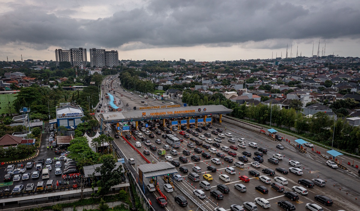
BMKG warns that these weather conditions could trigger hydro-meteorological disasters such as floods, landslides, and puddles, especially in areas with high rainfall. Moreover, heavy rain accompanied by strong winds also risks disrupting land, sea, and air transportation during the return flow.
Therefore, the public is advised to continue monitoring the latest weather information and early warnings issued by BMKG, as well as taking anticipatory measures in travel and outdoor activities.
“Weather changes can occur rapidly, so vigilance is key to minimising risks during the Eid return period,” BMKG stated.
The combination of these atmospheric phenomena triggers significant weather potential at several points in Indonesia. BMKG urges the public to increase preparedness against the potential for heavy rain.
BMKG explains that in the next 24 hours, the cyclone is predicted to move west towards the Carpentaria Gulf with a maximum wind speed of 65 knots and minimum pressure of 978 hPa.