Dispelling Drought Concerns
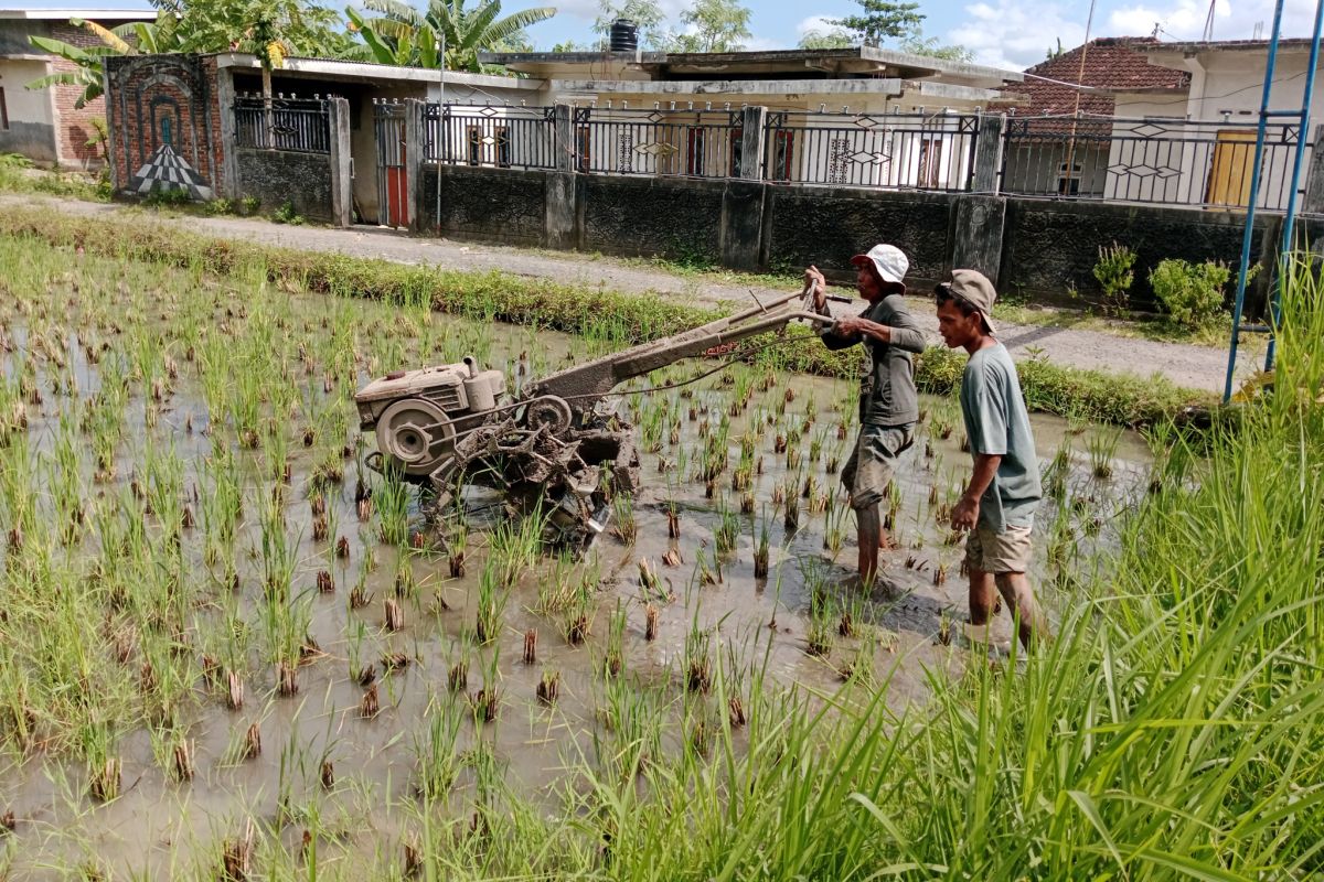
The dry season this year is an important note for us to ensure that the Mount Rinjani National Park area avoids fires as much as possible. Mataram (ANTARA) - The 2026 dry season started in April and arrived earlier, drier, and longer. This is a key consideration in planning water management and agricultural activities. The dry weather is triggered by the end of the weak La Niña phenomenon since February 2026, which has now shifted to a neutral phase and has the potential to move towards a weak to moderate El Niño in the middle of the year. If we open a weather radar application, Indonesia’s map appears clear with only a few cloud obstacles. Cumulonimbus and Nimbostratus clusters that always produce heavy rain for long durations are now starting to rarely cover the land. Since mid-March 2026, blue skies have occurred almost all day, making the air temperature feel stuffy. Broad-leaved weeds are slowly yellowing as a natural response to minimal water conditions. The Meteorology, Climatology, and Geophysics Agency (BMKG) states that the dry season begins in the eastern southern latitude regions covering East Nusa Tenggara (NTT) and West Nusa Tenggara (NTB) before spreading to other parts of Indonesia. The total dry season duration is predicted to last 25 to 27 decades or equivalent to eight to nine months ahead. Meanwhile, the peak dry period will occur in August 2026. Agricultural activities must adapt to weather conditions through the selection of drought-resistant crop varieties and effective irrigation management, so that agricultural yields can be maximised and water resource availability can be optimally maintained during the long dry season. Rain is still present. The dry season is indeed always associated with dry and hot conditions, but rain can still fall due to strong local factors that form clouds rich in water vapour. Areas with mountainous topography tend to be wetter than vast plains stretching along coastal regions.