Digitalisation and Innovation in Spatial Planning: Integrating RDTR into OSS for Licensing
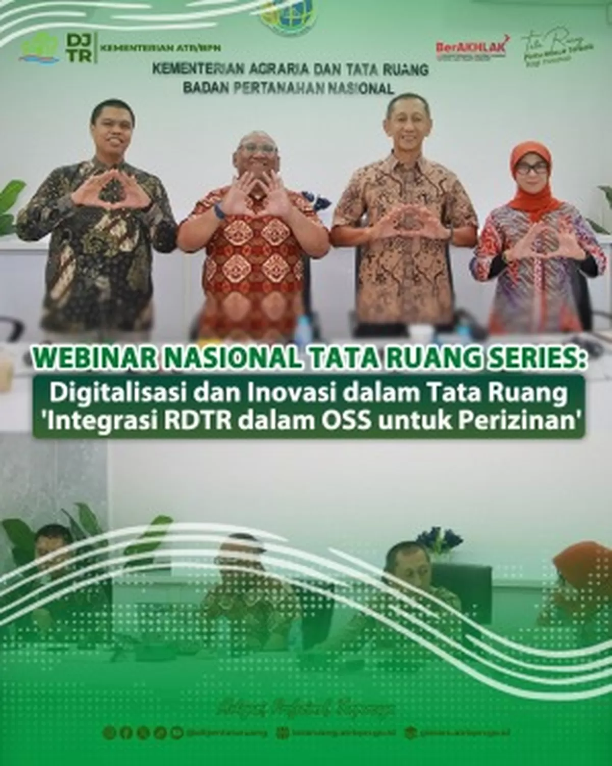
Jakarta — The Directorate General of Spatial Planning, together with the Human Resources Development Agency (BPSDM) of the Ministry of Agrarian Affairs and Spatial Planning/National Land Agency (ATR/BPN), held a national webinar entitled “Digitalisation and Innovation in Spatial Planning: Integration of RDTR into OSS for Licensing” on Thursday (03/07/2025). The webinar was conducted online and attended by more than 800 participants from various stakeholders, including central and regional government employees, practitioners, professional associations, academics, and the general public. The event was moderated by Bayu Dharma Saputra, Head of the Map Studio Working Group.
Acting Secretary of BPSDM at the Ministry of ATR/BPN, Einstein Al Makarima Mohammad, stated in his opening remarks that spatial planning in Indonesia continues to advance, becoming increasingly adaptive, responsive, and integrated with a more efficient licensing system. “Spatial planning is affirmed as the key to issuing basic business licensing requirements that must be provided by the government. This demands acceleration in expediting RDTR and its integration into the OSS system,” said Makarima.
The government, through the Ministry of ATR/BPN, is undertaking digital transformation by providing system support through digital platforms such as GISTARU and PROTARU. The provision of spatial planning information platforms serves as a form of facilitation for regional governments to prepare RDTR efficiently and in a participatory manner.
In his keynote speech, Director of Spatial Utilisation Synchronisation, Prasetyo Wiranto, stated that the Ministry of ATR/BPN is taking steps to accelerate public services by implementing systems based on the principles of accuracy, prudence, accountability, risk management and transparency, as well as simplifying business processes using information technology infrastructure capable of providing certainty, ease, speed, and transparency. “If a KKPR application is submitted in an area that already has an RDTR integrated with the OSS system, the licensing issuance process can be carried out more quickly and efficiently,” explained Prasetyo.
The first presentation was delivered by Senior Spatial Planner Abdul Kamarzuki. He explained that since the enactment of the Job Creation Law (UUCK), the licensing governance process in Indonesia has undergone changes aimed at simplifying procedures that had long been considered cumbersome. Through the regulations set out in the UUCK, licensing processes for both business and non-business activities are expected to become easier and more efficient. “The Directorate General of Spatial Planning now has five web-based applications accessible to all levels of society, including RTR Online and RDTR Interactive, which form part of the engine within the OSS system for issuing KKPR Confirmations,” Kamarzuki continued.
Subsequently, Head of Programme, Finance and General Affairs, Sri Damar Agustina, stated in her presentation that the utilisation of the One Map Policy (KSP) supports the preparation of Spatial Plans (RTR) by providing secondary data references in the form of base maps and thematic maps, and also supports the preparation of technical materials as analytical inputs for improving the quality of spatial planning thematic data. “Currently, GISTARU KKPR is available — a geospatial information system developed by the Ministry of ATR/BPN to support the KKPR issuance process,” Damar added.
Head of the Data and Information Working Group, Muhammad Arsyad, explained in his presentation the journey from RTR Online to RTR Builder. Initially, RTR Online was developed as a platform to present RTR information digitally. Subsequently, RDTR Interactive was launched, enabling the public and business actors to check spatial conformity directly on a map-based system. Then, to maintain the quality of RTR preparation in a more standardised, large-scale, and high-quality manner, RTR Builder was developed.
“With digitalisation in the field of spatial planning, it is hoped that the business licensing process and conformity of spatial utilisation activities can proceed more efficiently and sustainably,” concluded Bayu Dharma Saputra at the close of the webinar.