
Deputy Minister of ATR Supports "Giant Sea Wall" Development from Spatial Planning Perspective
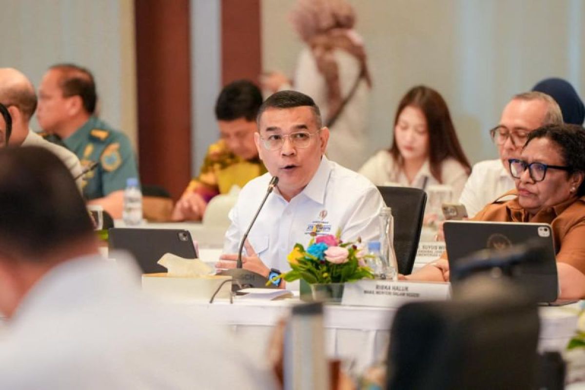
There are three aspects of support from the Ministry of Agrarian Affairs and Spatial Planning/National Land Agency. The first is the synchronisation of the Spatial Plan (RTR) with the master plan, so that this project is not only technically viable but also spatially and legally compliant.
Jakarta (ANTARA) - Deputy Minister of Agrarian Affairs and Spatial Planning/Deputy Head of the National Land Agency (Wamen ATR/Waka BPN) Ossy Dermawan supports the plan to build the Giant Sea Wall from a spatial planning perspective.
He affirmed the Ministry of ATR/BPN’s commitment to accelerating the development of Integrated North Coast Coastal Protection Infrastructure (Pantura) in Java. The Ministry of ATR/BPN will oversee spatial planning, the issuance of Spatial Utilisation Activity Suitability (KKPR), and land acquisition.
“There are three aspects of support from the Ministry of ATR/BPN. The first is the synchronisation of the Spatial Plan (RTR) with the master plan, so that this project is not only technically viable but also spatially and legally compliant,” said Ossy in his statement in Jakarta on Tuesday.
He explained that the National Spatial Plan (RTRWN) is currently undergoing revision and has accommodated coastal protection programmes, including the Giant Sea Wall development plan. Adjustments will also be made at the regional level to align with the prepared master plan.
“We are ready to assist in accelerating the issuance of KKPR, especially if this project is designated as a National Strategic Project. Of course, this will be done while still considering the division of authority between ministries, both in sea areas, forest areas, and outside those areas,” said Ossy.
Regarding land acquisition, he also expressed readiness to provide full support to bolster the infrastructure development. Ossy noted that support from the Ministry of ATR/BPN still requires strengthening from cross-sectoral parties.
“We encourage the inter-ministerial and agency working group to be further strengthened, so that map integration and overlay can be carried out optimally,” he said.