Depok City Government Maps 11 Flood-Prone Areas to Accelerate Disaster Mitigation
The Depok City Government, West Java, is mapping areas prone to flooding and inundation to anticipate potential disasters during the rainy season.
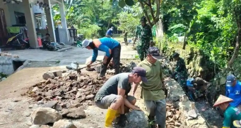
This mapping serves as an initial mitigation effort to protect residents, mobilize personnel, and repair drainage infrastructure and embankments in affected areas.
The Head of the Water Resources Division of the Depok City Public Works and Spatial Planning Office, Rizwan Nurahim, stated that 11 locations have been identified as priority areas for addressing inundation.
This mapping primarily focuses on areas along riverbanks. “The issue of flooding is complex. In addition to weather factors, the main cause of inundation is dominated by sedimentation and accumulated waste, which leads to the narrowing of waterways,” he said on Friday (May 15, 2026).
He explained that flooding caused by blockages occurs when accumulated waste clogs drainage channels, culverts, or river flows.
“As a result, rainwater cannot flow normally and eventually overflows into residential areas. Household waste and plastic that is disposed of carelessly accumulate and narrow or completely block waterways,” he said.
Based on monitoring, Rizwan said that flooding occurs because water is trapped due to blockages and overflows onto land, causing inundation and flash floods.
To prevent this problem, Rizwan encourages the public to manage waste wisely by applying the 3R principle (Reduce, Reuse, Recycle).
Rizwan said that all 11 locations designated as priorities will be addressed through the normalization of clogged waterways.
With this mapping of flood-prone areas, he hopes to minimize risks and the impact of disasters, as it serves as a basis for non-structural mitigation.
He explained that to address flood-prone locations, the Public Works and Spatial Planning Office is deploying various technical resources and emergency response teams by deploying hundreds of technical personnel, mobile and portable water pumps, portable emergency response materials (such as gabions and retaining walls), and dozens of heavy equipment such as excavators, dump trucks, and crane trucks.
Rizwan appealed to the public to participate in self-mitigation by not littering and cleaning waterways in their respective environments.