Can AI Based on Botanical Garden Scientific Collections Predict Floods?
KG is transforming the scientific records of living plant collections into an intelligent system capable of reading disaster risks and helping communities well before the water arrives.
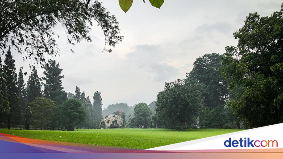
Living Plant Collections as a Living Archive of Ecosystems
Botanical gardens are more than just tourist attractions. Behind the rows of rare trees, medicinal plants, and exotic orchids that bloom in succession, there are scientific records gathered over decades or even centuries.
Every living plant there has a track record: where it originates from, the type of habitat it grows in, how it interacts with the soil, water, and other creatures around it. This is what is called a scientific collection, a living archive of an ecosystem that continues to breathe.
Until now, this wealth of data has been scattered across taxonomic notes, specimen labels, research journals, and standalone digital databases. A researcher wanting to understand how changes in vegetation cover in a river basin relate to flood risk, for example, would have to manually sift through dozens of data sources.
“Plant collection data from botanical gardens is not just scientific collections, but also an ecological memory of a region that can be reread in new ways.”
This is where KG comes in as a breakthrough. In the AI ecosystem, KG is one of the most fundamental components for “understanding” the world not just by storing data, but by interpreting relationships between facts in a contextual way. This technology works like a brain that can connect previously separate dots of information.
Each plant species entity, origin location, soil conditions, rainfall, topography becomes a node in a large network. And every relationship between nodes has meaning: plant X grows in habitat Y, habitat Y is located in water catchment area Z, and area Z has a history of flooding at certain rainfall intensities. Suddenly, data that seemed scattered forms a cohesive narrative that can be analysed.
How Knowledge Graphs Read Flood Risk
Floods are not single events falling from the sky. They are the result of complex chains of cause and effect: deforestation that reduces soil absorption capacity, loss of riparian vegetation that protects riverbanks, land-use changes that cut water infiltration space. Understanding this chain of cause and effect comprehensively is the biggest challenge in disaster risk management.
Botanical garden plant collections hold the key to reading that chain. Data on species distribution, for example, can reveal where vegetation functioning as slope binders and water absorbers is beginning to thin. Phenology records, about when plants flower, fruit, or shed leaves, can indicate microclimate changes affecting the hydrological cycle.
When all this information is fed into a single KG along with hydrological and infrastructure data, a much richer predictive model is born than conventional flood maps.
In simple terms, it works by connecting plant species data → origin habitat → ecological function (soil binding, water absorption) → river basin conditions → history of flood events. This layered relationship enables “if X changes, what happens to Y and Z” analysis, something conventional databases cannot do.
Automated relation extraction techniques from scientific literature allow this process to run faster. Thousands of research papers on forest ecology, hydrology, and biodiversity stored in botanical garden archives can be “read” by the system, then key relationships within them are automatically extracted and inserted into the graph. The result is a knowledge network that continues to grow and update itself as new data enters, much like the ecosystem itself.
Real Benefits: From Researchers to Riverside Residents
The most important question for any technological innovation is: who really benefits? In the case of KG based on botanical garden collections, the answer includes almost all stakeholders in the environmental management and disaster mitigation chain.
For researchers and botanical garden curators, this technology changes how they view the collections they manage. Specimen data that was previously only valuable in pure botany contexts can now be connected to larger cross-disciplinary questions.
A curator at Bogor Botanical Garden, for example, could collaborate with a hydrologist in Bandung simply by sharing access to the same graph without needing to merge different database systems.
For local governments and urban planners, KG provides a stronger scientific basis for decision-making. When a mayor considers a building permit in an area bordering a city forest, the graph can clearly show: which plant species will be affected, what ecological functions will be lost, and how that change statistically correlates with increased flood risk downstream.
Policies no longer rely solely on intuition or lobbying, but on traceable networks of evidence.
For communities in flood-prone areas, especially those living on riverbanks or vulnerable slopes, the benefits are very concrete. KG-powered early warning systems can provide more accurate and earlier notifications, because their predictive models consider actual upstream vegetation cover conditions, not just rainfall data. A warning arriving two hours earlier could mean the difference between orderly evacuation and panic amid floods.
And for the global biodiversity conservation community, this approach provides a powerful new argument: botanical garden scientific collections are not just cultural heritage or genetic reserves, but also data infrastructure for human safety. This argumentation opens doors to broader funding and policy support for preserving living plant collections worldwide.