By Sunday Morning, Flooding Points in DKI Jakarta Reach 48 RT and 16 Streets
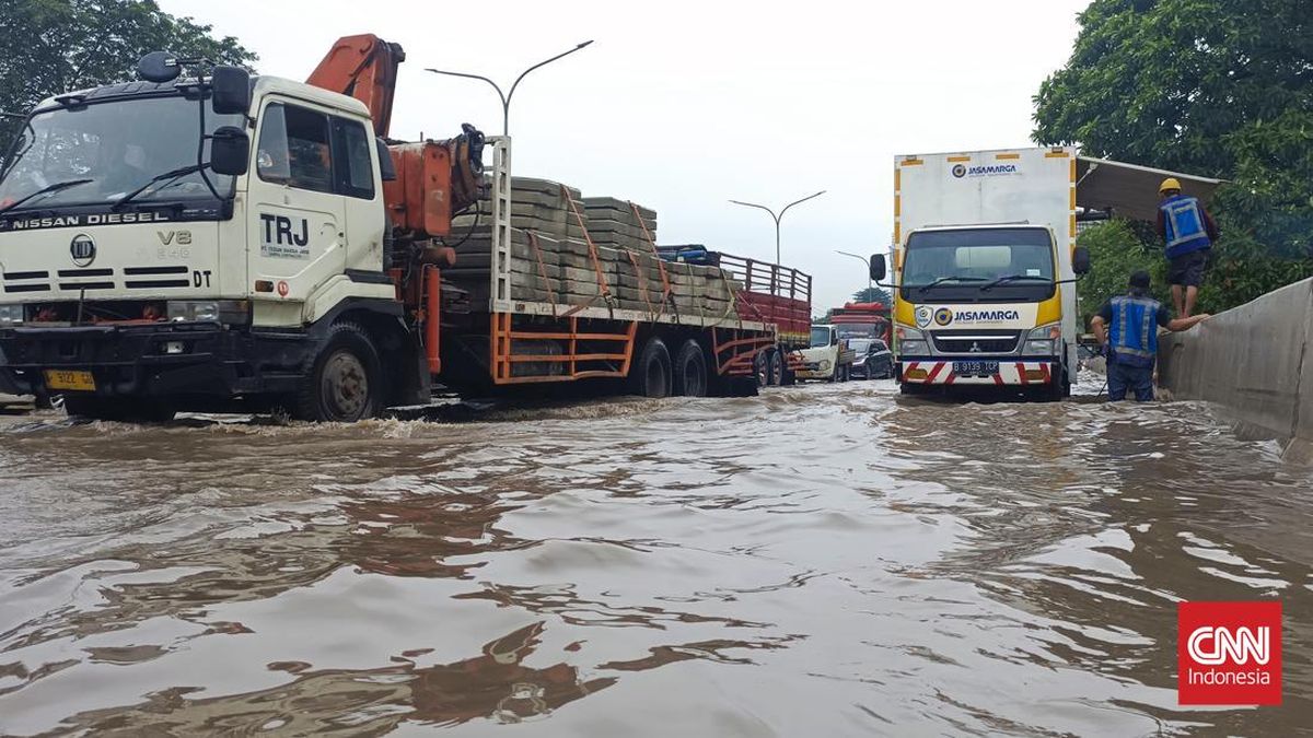
Regional Disaster Management Agency (BPBD) of DKI Jakarta has updated the data on floodwater points in DKI Jakarta. As of 06:00 WIB on Sunday, 8 March, there were 48 RT and 16 Jalan experiencing flooding. Water heights ranged from 20 cm to 170 cm. Affected areas were mainly in West Jakarta, South Jakarta, and East Jakarta.
‘BPBD notes that there are currently 48 RT and 16 Jalan inundated,’ said Isnawa Adji, Executive Head of BPBD DKI Jakarta, in a statement on Sunday.
Here are the details by area. Starting with West Jakarta with flood points in 22 RT:
Kelurahan Kedaung Kali Angke: 4 RT; Height: 60-70 cm; Cause: Heavy rainfall
Kelurahan Kedoya Selatan: 4 RT; Height: 30 cm; Cause: Heavy rainfall
Kelurahan Kedoya Utara: 4 RT; Height: 20 cm; Cause: Heavy rainfall
Kelurahan Sukabumi Selatan: 2 RT; Height: 100 cm; Cause: Heavy rainfall
Kelurahan Joglo: 1 RT; Height: 65 cm; Cause: Heavy rainfall
Kelurahan Kembangan Selatan: 5 RT; Height: 40-50 cm; Cause: Heavy rainfall
Kelurahan Kembangan Utara: 2 RT; Height: 60 cm; Cause: Heavy rainfall and overflow from Kali Bendungan Kali Pelopor
In South Jakarta, 22 RT were affected. Details:
Kelurahan Cilandak Barat: 1 RT; Height: 120 cm; Cause: Heavy rainfall
Kelurahan Cipete Utara: 3 RT; Height: 170 cm; Cause: Heavy rainfall
Kelurahan Petogogan: 12 RT; Height: 20 cm; Cause: Heavy rainfall
Kelurahan Pela Mampang: 1 RT; Height: 170 cm; Cause: Heavy rainfall, overflow from Kali Krukut and Kali PHB Nipam
Kelurahan Duren Tiga: 3 RT; Height: 60-100 cm; Cause: Heavy rainfall
Kelurahan Cilandak Timur: 2 RT; Height: 120 cm; Cause: Heavy rainfall
In East Jakarta there are 4 RT in Kelurahan Halim Perdana Kusuma affected by floods. Water heights reach 40-70 cm with heavy rainfall as the main cause.
Additionally, there are 16 flooded roads. Details:
Jl. Srengseng Raya, Kel. Srengseng
Jl. Daan Mogot, KM 13, Kel. Rawa Buaya
Jl. Perumahan Green Garden (MCD), Kel. Kedoya Utara
Jl. Meruya Selatan, Kel. Meruya Selatan
Jl. Daan Mogot (Depan Victoria), Kel. Cengkareng Timur
Jl. Daan Mogot Halte Taman Kota, Kel. Kedaung Kali Angke
Jl. Kapten Pierre Tendean, Kel. Kuningan Barat
Jl. Cileduk Raya (Seskoal), Kel. Cipulir
Jl. Cileduk Raya (Kolong ITC), Kel. Cipulir
Jl. Cileduk Raya (Pom Bensin Shell), Kel. Ulujami
Jl. Bintaro Permai Raya (H. Gari), Kel. Pesanggrahan
Jl. Beo, Kel. Pesanggrahan
Jl. Swadarma Raya, Kel. Ulujami
Jl. Puri Kembangan (Depan Sekolah SMK Budi Murni), Kel. Kedoya Selatan, Kel. Kedoya Selatan
Jl. Kramat Raya, Kel. Tugu Utara
Jl. Rawa Indah RT 003 RW 003, Kel. Pegangsaan Dua
Water heights on these roads ranged from 10 cm to 120 cm, mainly due to heavy rainfall.
BPBD DKI said it has deployed personnel to monitor flooding across the affected areas. In addition, coordination has taken place between the SDA Department, the Dinas Bina Marga, the Gulkarmat Department, and the local lurah and camat to pump floodwater and ensure the water gates are functioning properly. The aim is for the floods to recede quickly. BPBD Jakarta also urged the public to stay cautious and vigilant against flood risks.