BRIN Strengthens Orbital Access and Indonesia's Strategic Role in UN Forum
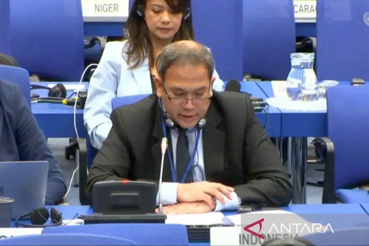
Jakarta (ANTARA) - The National Research and Innovation Agency (BRIN) continues to strengthen Indonesia’s role in global space diplomacy through active participation in the UN Committee on the Peaceful Uses of Outer Space (UN-COPUOS) 2026 some time ago in Vienna, Austria.
Head of BRIN’s Aviation and Space Research Organisation, Robertus Heru Triharjanto, stated in Jakarta on Thursday that BRIN has the mandate as the organiser of national space activities as well as Indonesia’s representative in international forums, such as registering all Indonesian-owned space objects, whether from government, private sector, or universities.
“BRIN also serves as a reference for the utilisation of satellite-based remote sensing data to support development in the Asia-Pacific region,” he said.
Robertus explained that the utilisation of space data in Indonesia has been ongoing for a long time and continues to develop. Satellite imagery data is used for various strategic sectors, from harvest predictions in agriculture, forest fire detection, to detailed-scale mapping for land administration needs.
In the context of disasters, satellite data has also played an important role in disaster mitigation and recovery, from the 2004 Aceh tsunami to floods in Aceh and North Sumatra in 2025.
Heru added that going forward, BRIN will focus on developing remote sensing satellite systems as the main source of national development data, as well as developing satellite-based communication systems to support the Internet of Things (IoT), traffic monitoring, and early warning systems for disasters.
Furthermore, Deputy Chief of Mission (DCM) of the Indonesian Embassy in Vienna, Vitto Rafael Tahar, explained that Indonesia’s participation in UN-COPUOS has been consistent since 1972. In that forum, Indonesia conveys its national position and interests through a delegation prepared by BRIN and delivered by the Indonesian Embassy/Permanent Representation to the UN in Vienna.
According to Vitto, this consistency has positioned Indonesia as one of the key nodes in the UN-SPIDER programme, a UN platform that provides satellite data for disaster management.
“Indonesia is even trusted to assist in processing remote sensing data for countries in Southeast Asia during disasters,” said Vitto.
He emphasised that space is no longer just a domain for scientific exploration, but has become an arena for global interest contestation. Competition in satellite orbit allocation and frequency spectrum now directly impacts the digital economy, national security, and geopolitics.
Vitto stressed that Indonesia’s active involvement in UN-COPUOS is very important to ensure fair access to limited space resources, particularly orbits and frequency spectra.
“This effort is also a strategic step in supporting economic development, enhancing global competitiveness, and strengthening national security in the era of space-based economy and geopolitics,” said Vitto Rafael Tahar.