
BRIN Researchers Discover Evidence of Active Faults and Ancient Eruptions at the Foot of Mount Ciremai
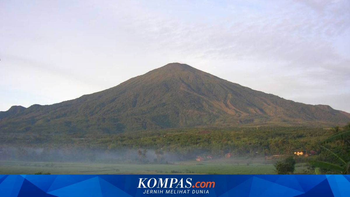
A team of researchers from the Centre for Geological Disaster Research (PRKG) at the National Research and Innovation Agency (BRIN) has successfully discovered physical evidence of tectonic and volcanic activity from the Quaternary period in the Eastern Kuningan Ring area, West Java. This finding provides a new picture of the history of earthquakes and eruptions of Mount Ciremai in the past. The research was conducted using geochronology analysis and high-precision LiDAR (Light Detection and Ranging) mapping to observe surface features unobstructed by vegetation. Such data is crucial for mapping disaster risks. “Volcanic deposits disturbed by faults can tell stories about the past history and recurrence of earthquakes,” said Sonny in his statement on Tuesday (28/4/2026). Through carbon dating methods along the Eastern Kuningan Ring route, the team found unique geological anomalies. There is a soil layer aged 22,000 years lying above a layer aged 20,000 years. Geologically, this is strong evidence of thrusting activity that occurred after the 20,000-year period. In addition to thrusting faults, the research team also found evidence of normal faults in deposits around 16,000 years old. Sonny mentioned that this indicates a phase of sediment balancing or possibly traces of a major earthquake event during that period. The use of LiDAR data reinforces these findings by showing clear tilting of layers and faulting in the land morphology at the foot of Mount Ciremai. “The radiocarbon and LiDAR data provide important updates to the chronology of Mount Ciremai’s eruptions. These findings show that tectonic deformation phases in the Kuningan area occurred concurrently with the mountain’s volcanic history,” said Sonny. This geochemical data helps researchers trace the origin of materials and the direction of ancient eruption flows. One of them is the discovery of evidence of a major eruption around 15,000 years ago. The integration of explosive eruption data and active fault data is hoped to serve as a foundation for preparing safer settlement spatial planning in Kuningan. “The hope is that with more data on the ages of rocks disturbed by tectonic activity, the recurrence periods and seismic history can be better understood. Thus, the potential hazards of earthquakes and volcanism can be better evaluated to support future development,” Sonny concluded.