BPN Warns of Risks from Unmapped Land Leading to Duplicate Freehold Titles
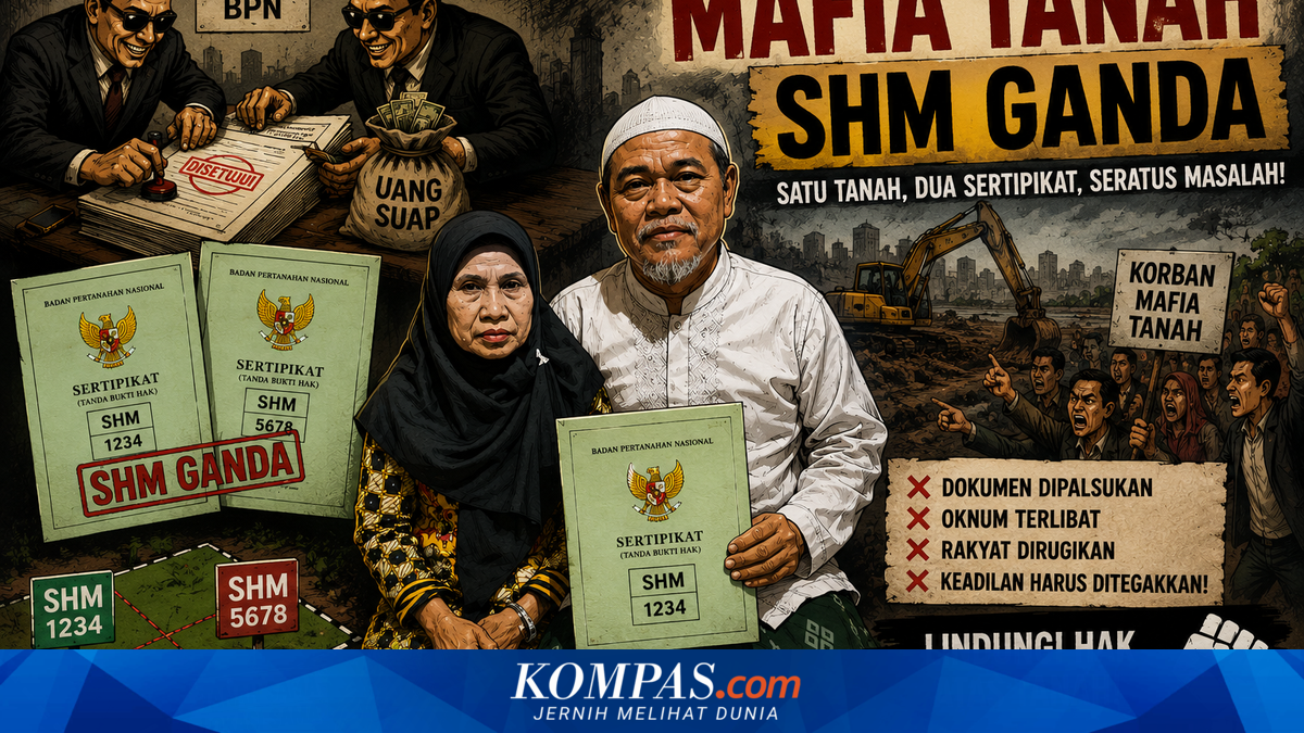
The Ministry of Agrarian Affairs and Spatial Planning/National Land Agency (ATR/BPN) has warned citizens holding land certificates issued before 1997 to promptly verify their data at local Land Offices. This step is crucial to prevent land disputes and cases of duplicate freehold titles caused by land parcels not yet digitally mapped.
Minister of ATR/BPN Nusron Wahid stated that many old land certificates featuring a world globe image still lack cadastral maps. “Approximately 13.8 million such certificates exist, but many citizens remain unaware,” Nusron said, quoted from the ATR/BPN official website on Saturday, 30 May 2026.
According to Nusron, this situation arose because land registration processes prior to Government Regulation No. 24 of 1997 did not include the inclusion of land parcels in cadastral maps. This condition risks overlapping ownership and legal issues if not promptly updated.
The public is urged to actively improve land data quality by reporting unmapped certificates to their local Land Office. Citizens can check their land status via the Sentuh Tanahku app or the bhumi.atrbpn.go.id website. Through these services, landowners can verify whether their parcels are included in the digital map or classified as KW 4, KW 5, or KW 6.
Information on unmapped land can also be obtained via official channels of Land Offices in each regency and city. The KW land classification system comprises six levels, from KW 1 to KW 6, indicating the completeness and integration of land data for each parcel. This KW 1-6 classification refers to spatial data quality and the extent to which land parcels are integrated with digital cadastral mapping systems.
According to the 2019 Technical Guidelines for Comprehensive Land Registration in Regencies/Cities, KW 1, KW 2, and KW 3 land parcels have stronger legal certainty and better data quality compared to KW 4, KW 5, and KW 6. In KW 1 category, all land data is fully integrated into the GeoKKP system, including the Land Book, textual survey deed, and spatial survey deed.