BMKG Reveals At Least 23 Hot Spots in North Sumatra, Public Urged Not to Burn Land
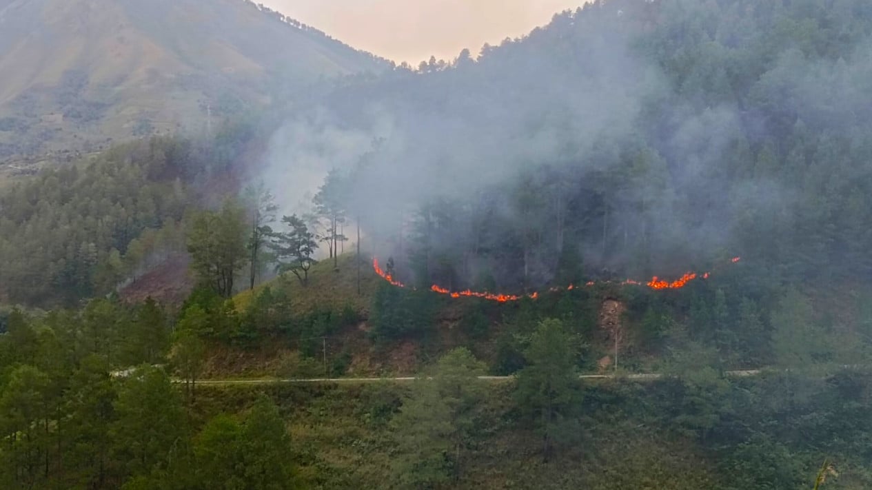
Medan — Satellite observations from the Meteorology, Climatology and Geophysics Agency (BMKG) show at least 23 hot spots appearing across North Sumatra.
The 23 hot spots are each mapped as follows: one in Dairi Regency, five in Karo, nine in Labuhanbatu, three in Labuhanbatu Utara, one in Nias, two in Nias Selatan, one in Samosir, and one in Simalungun.
“T hotspots were observed based on satellite sensors, namely the Terra, Aqua, SNPP, and NOAA-20 satellites,” said BMKG Forecaster Putri Afriza of Region I in Medan, on Saturday, 7 March 2026.
The public is urged not to burn land clearing debris to prevent land fires.
Meanwhile BMKG Forecaster Rizki Fadhillah Pratama Putra of the Maritime Class II Meteorology Station Belawan said several waters in North Sumatra are at risk of high waves that may occur from 8 to 11 March 2026.
Sea waves up to 1.25 to 2.5 metres may occur in the Eastern waters of the Nias Islands, the waters of the Batu Islands, the western Indian Ocean off the Nias Islands, the western waters of the Nias Islands and the western waters of the Batu Islands.
Wind patterns along the East North Sumatra coast generally move from West to North-West with wind speeds of 4-12 knots, while along the West North Sumatra coast they generally move from North-West to North-East with speeds of 6-15 knots.
Fishermen using boats are advised to stay vigilant if wind speeds reach 15 knots and waves reach 1.25 metres, and for barges if wind speeds reach 16 knots and waves reach 1.5 metres.