BMKG Officially Ends Tsunami Warning Following M7.6 Earthquake in North Maluku
The Indonesian Agency for Meteorology, Climatology, and Geophysics (BMKG) has ended the early tsunami warning following an earthquake in the Batang Dua Island area, Ternate, North Maluku, on Thursday, 2 April 2026.
The earthquake was located at coordinates 1.25° N; 126.27° E, or precisely in the sea 129 km southeast of Bitung, North Sulawesi, at a depth of 33 km.
BMKG Head, Teuku Faisal Fathani, explained that based on the epicentre location and depth, this was a shallow earthquake resulting from subduction activity in the Maluku Sea. Analysis results show that today’s earthquake had an upward movement mechanism (thrust fault).
“BMKG monitoring results indicate sea level rises in several areas, including West Halmahera at 06:08 WIB with a height of 0.30 m, Bitung at 06:15 WIB with 0.20 m,” said Faisal at the BMKG MHEWS Building in Jakarta (2/4).
Then, in Sidangoli at 06:16 WIB with 0.35 m, North Minahasa at 06:18 WIB with 0.75 m, Belang at 06:36 WIB with 0.68 m, and Bumbulan at 06:50 WIB with 0.13 m.
Meanwhile, BMKG Deputy for Geophysics, Nelly Florida R., explained that today’s earthquake impacted at least three provinces, from North Maluku, North Sulawesi, and Gorontalo.
The earthquake was strongly felt with intensity V-VI MMI in Ternate City. As a result, vibrations were felt by all residents, causing panic and people to run outside, falling wall plaster, and damage to factory chimneys, as well as minor damage.
Residents of Manado also felt the vibrations with intensity IV-V MMI (Vibrations felt by almost all residents, many people woken up). Vibrations in Gorontalo Bone Bolango, North Gorontalo were noticeably felt indoors, as if a truck was passing by, with intensity III MMI.
Vibrations were felt in Boalemo Regency and Pohuwato with intensity II-III MMI (Vibrations felt by some people, lightly hung objects swaying).
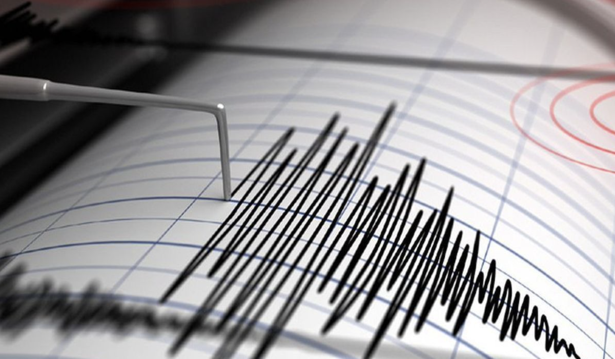
“Up to 09:50 WIB, BMKG monitoring shows 48 aftershock activities with the largest magnitude M5.5,” said Nelly.
The Acting Director of Earthquakes and Tsunami, Rahmat Triyono, assured that BMKG will deploy expert teams to conduct macroseismic mapping (damage distribution) and microseismic (aftershocks). On the other hand, BMKG will also install portable seismographs around North Maluku and Ternate for data collection efforts.
“All BMKG regional units have coordinated with relevant stakeholders to monitor potential aftershocks and their impacts,” explained Rahmat.
Based on information received, this event caused building damage at several points, such as at the KONI Sario Manado building and the Calvary Church in Batang Dua Island, Ternate City, resulting from the earthquake.
“BMKG states that the Tsunami Early Warning is declared ended at 09:56 WIB. BMKG thanks the local government for helping with dissemination and carrying out prompt evacuation measures,” concluded Faisal.
BMKG has officially ended the early tsunami warning following the M7.6 earthquake in North Maluku and North Sulawesi. A joint SAR team is now moving into the affected areas.