BMKG Issues Alert for Potential High Waves in Several Central Java Regions
Extreme weather conditions have the potential to affect 28 districts, as tidal surges (rob) and high waves of up to 4 metres are set to occur in Central Java waters on Saturday, 28 February. Residents in mountainous and coastal areas have been instructed to remain alert to hydrometeorological disasters.
Weather conditions across Central Java are expected to be generally clear and partly cloudy in the morning. However, as the day progresses into afternoon, evening and early night, light to moderate rainfall is forecast to sweep across the region. Extreme weather conditions, including heavy rainfall accompanied by strong winds and lightning, have the potential to strike 28 districts.
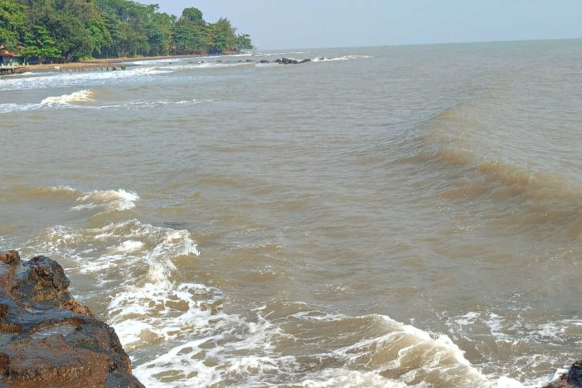
In addition to high waves in southern waters reaching 2.5–4 metres and northern Central Java waters with heights of 1.25–2.5 metres, tidal surges (rob) are also expected, with maximum heights of 1 metre occurring between 16:00–20:00 Western Indonesian Time. This will result in flooding in several districts along the North Coast of Central Java.
“Warning: high waves accompanied by storm rain pose significant risks to maritime activities such as fishing boats, barges and cargo and passenger transport,” stated Sediyanto, forecaster at BMKG’s Tanjung Emas Maritime Station in Semarang, on Saturday, 28 February.
Tidal surges (rob) in northern waters will cause flooding in several North Coast districts and disrupt various public activities including transportation, cargo handling at ports, inland fish farming and salt farming operations, Sediyanto continued.
Farita Rachmawati, forecaster at BMKG’s Ahmad Yani Meteorological Station in Semarang, noted that weather dynamics in Central Java are set to undergo significant changes on Saturday, 28 February, with marked differences between morning and afternoon conditions requiring residents to remain vigilant of these shifts.
According to Rachmawati, light to moderate rainfall during afternoon and early evening has the potential to evolve into extreme weather across 28 districts in Central Java, affecting mountainous areas, highlands, the Solo region, southern Central Java and the North Coast, necessitating public vigilance against hydrometeorological hazards such as landslides, floods and whirlwinds.
Districts in Central Java facing potential extreme weather, as outlined by Rachmawati, include Cilacap, Banyumas, Purbalingga, Banjarnegara, Kebumen, Purworejo, Wonosobo, Mungkid, Boyolali, Klaten, Sukoharjo, Wonogiri, Karanganyar, Sragen, Ungaran, Temanggung, Kendal, Batang, Kajen, Pemalang, Slawi, Brebes, Magelang, Surakarta, Salatiga, Bumiayu, Majenang and Ambarawa.
“Other areas are likely to experience light to moderate rainfall, with winds blowing from west to north at speeds of 10–30 kilometres per hour, air temperatures ranging from 18–32 degrees Celsius and air humidity between 60–95 per cent,” Rachmawati stated.