BMKG deploys expert team to survey earthquake impact in North Maluku
Acting Director of Earthquake and Tsunami at BMKG Rahmat Triyono said the team is responsible for mapping damage and monitoring aftershock activity.
The experts will also assess the potential vulnerability of areas affected by the high-magnitude earthquake to ensure public safety.
“We will conduct a survey of damaging earthquakes, including macroseismic and microseismic mapping,” Triyono stated during a press conference on Thursday.
He explained that macroseismic mapping determines the distribution of damage, while microseismic mapping monitors aftershocks.
His office will install portable seismographs at several locations in North Maluku to strengthen seismic activity monitoring.
Triyono noted that microearthquake data is crucial for analyzing the duration and potential cessation of aftershocks.
“Although they do not always have a major impact, these small earthquakes are important indicators in analyzing seismic activity,” he continued.
Meanwhile, BMKG Acting Director of Engineering Seismology and Geopotential Fakhri urged residents to increase vigilance regarding the condition of their buildings.
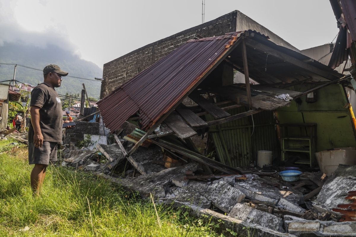
He emphasized that residents should not enter damaged or cracked buildings until a joint team confirms the structures are safe.
As of 9:50 local time, 48 aftershocks had been recorded in the North Maluku and North Sulawesi region, with the largest reaching magnitude 5.5.
The 7.6-magnitude earthquake was centered at sea, approximately 129 kilometers southeast of Bitung, North Sulawesi, at a depth of 33 kilometers.
Strong tremors were felt in Ternate, Tidore Islands, and West Halmahera, triggering panic among residents in coastal areas.
Related news: One dead after 7.6 quake hits North Sulawesi
Related news: BMKG lifts tsunami warning after 7.6M earthquake hits North Maluku
Translator: M. Riezko Bima, Resinta Sulistiyandari