BMKG: Beware of High Waves in North Sumatra Waters
Medan (ANTARA) — The Meteorology, Climatology and Geophysics Agency (BMKG) has urged fishermen and other stakeholders to remain vigilant against the potential for high waves in several North Sumatra waters.
“Waves of 1.25 to 2.5 metres are likely to occur in a number of North Sumatra waters from 18 to 20 February 2026,” said Christen Marpaung, a forecaster at the BMKG Class II Maritime Meteorological Station in Belawan, Medan, on Tuesday.
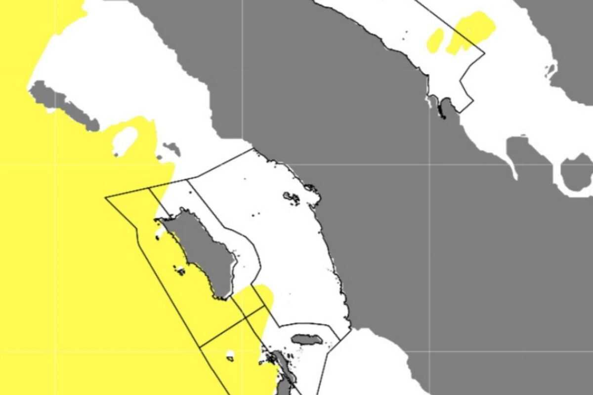
The high waves may affect the western waters of North Sumatra, the western waters of the Nias Islands, the western waters of the Batu Islands, the eastern waters of the Nias Islands, the waters around the Batu Islands, and the Indian Ocean west of the Nias Islands.
These conditions pose a risk to navigation safety for fishing boats when wind speeds reach 15 knots with wave heights of 1.25 metres, as well as for barges when wind speeds reach 16 knots with wave heights of 1.5 metres.
Wind patterns across northern Indonesia are generally moving from the northeast to east at speeds of 5 to 30 knots, whilst in southern Indonesia winds are generally moving from the west to northwest at speeds of 6 to 30 knots.
Marpaung noted that light to heavy rainfall across much of North Sumatra in recent days has been caused by convergence and wind deflection in the region, resulting from cyclonic circulation (eddies) in the waters off Kalimantan and the Indian Ocean west of Aceh, as well as a low-pressure system in the Indian Ocean southwest of Sumatra.
This has caused a deceleration and accumulation of air masses over the North Sumatra region.
Atmospheric dynamics analysis indicates the presence of a shearline and wind convergence around the west and east coasts of North Sumatra.
Relatively warm sea surface temperature anomalies and sufficiently strong atmospheric instability are also supporting the growth of convective clouds.