BMKG: Be wary of high waves up to 2.5 metres in North Sumatra waters
Such conditions could occur from 6 to 7 March 2026.
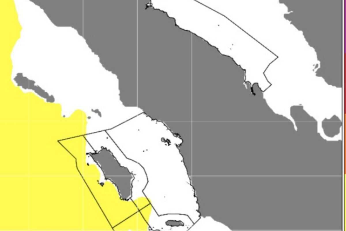
Medan (ANTARA) - The Meteorology, Climatology and Geophysics Agency (BMKG) forecasts that the western waters of the Nias Islands and the western waters of Batu Islands, North Sumatra, are at risk of high waves reaching 1.25 to 2.5 metres and should be heeded as they could disrupt navigation.
A similar situation could also occur in the western waters of North Sumatra and the western Indian Ocean off Nias Island.
‘The conditions could occur from 6 to 7 March 2026,’ said Rizky Ramadhan, a forecaster at BMKG’s Maritime Class II Weather Station Belawan, in Medan on Friday.
He noted that Tropical Cyclone Disturbances 90S at 10.9 degrees South and 113.2 degrees East in the southern Indian Ocean south of Java; Tropical Cyclone Disturbance 93S at 16.5 degrees South and 119.6 degrees East in the western Indian Ocean off Australia; and Tropical Cyclone Disturbance 92P at 15.7 degrees South and 148.9 degrees East off northern Australia, have triggered increases in wind speed and wave height in Indonesian waters.
The highest wind speeds were recorded in the southern Indian Ocean off Java.
He urged fishermen using small boats to exercise caution when wind speeds reach 15 knots and wave heights reach 1.25 metres. Similarly, tanker operators should heighten vigilance if wind speeds reach 16 knots and wave heights reach 1.5 metres.