BIG Urged to Strengthen Disaster-Prone Area Mapping as Infrastructure Development Reference
Jakarta – The government, through the Geospatial Information Agency (BIG), is being urged to strengthen mapping of disaster-prone regions in Indonesia so that anticipatory measures can be carefully prepared in the future.
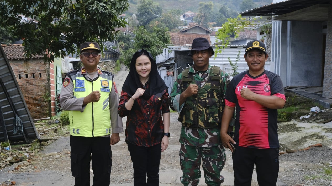
This was stated by Member of Parliament Shanty Alda Nathalia from Commission XII of the People’s Consultative Assembly following her visit to Padasari Village, Tegal Regency, which she said demonstrated the critical importance of accurate geospatial data to support disaster mitigation.
Shanty believes that mapping of disaster-prone areas must become a national priority, given that Indonesia is a country with high vulnerability to various natural disasters, including floods, landslides, and earthquakes. Consequently, precise updates to geospatial data are deemed essential to assist the government in formulating appropriate policies.
“After my visit to Padasari Village in Tegal Regency, I believe mapping of disaster-prone areas needs to become a national priority. We are encouraging the Geospatial Information Agency (BIG) to continuously update and improve the accuracy of geospatial data so that the government, both at central and regional levels, has clear reference points in spatial planning, infrastructure development, and disaster mitigation,” Shanty stated on Monday, 9 March 2026.
According to her, accurate geospatial data not only serves as a technical reference but also forms an important foundation in protecting public safety. Based on proper mapping, the government can identify areas with high risk levels so that prevention and mitigation measures can be implemented more effectively.
Furthermore, Shanty emphasised that coordination between the central government, regional governments, and relevant agencies such as BIG needs to be continuously strengthened so that geospatial data can be utilised optimally. With an integrated mapping system that is constantly updated, the development planning process can be conducted more strategically and based on risk assessment.
“Precise data plays a crucial role in ensuring safety and the effectiveness of disaster response efforts in the field. Therefore, strengthening the geospatial mapping system needs to become part of the national strategy in reducing disaster risk,” she added.
She hopes that efforts to improve the quality of geospatial data can serve as a strategic step in building a more resilient disaster mitigation system in Indonesia, enabling the government to take faster, more accurate, and measurable action in responding to potential disasters in various regions.