Barito River Upper Reaches Enters Danger Level as Tidal Flooding Ravages Banjarmasin
The recent intensification of rainfall in the upstream areas has driven a sharp rise in the water levels (Tinggi Muka Air, TMA) of Kalimantan’s major rivers. The Barito River in Central Kalimantan province (Kalteng) is now reported to have reached danger level or red status.
According to a report from the Kalimantan III Basin Authority (Balai Wilayah Sungai, BWS) Banjarmasin on Wednesday, 20 May, the TMA of the Barito River in the upper reaches of Kalteng, specifically at Muara Teweh and Puruk Cahu, stood at 12 metres and 7.2 metres respectively. These figures place the two areas on emergency standby.
Water levels have also risen significantly in South Kalimantan (Kalsel). The Barabai River in Hulu Sungai Tengah Regency is at a dangerous level with an elevation of 5.1 metres. This river overflow previously triggered major floods on Monday (18 May) that inundated Barabai town and surrounding areas.
Meanwhile, the Pagatan Besar River in Tanah Bumbu Regency was observed at alert level with water heights reaching 5.45 metres.
Head of the Regional Disaster Management Agency (BPBD) of Kalsel, Roni Eka Saputra, urged the public to heighten vigilance against hydrometeorological hazards. Although some areas are experiencing hot weather, extreme rainfall in the upstream remains the main threat of downstream flooding.
This condition is beginning to raise concerns about food security. Head of the Banjar District Agricultural Office, Warsita, revealed that low-lying areas that were affected by floods at the end of 2025 to early 2026 are now submerged again. “Water is rising again; floods have just subsided and now they are submerged again. This condition is feared to have a major impact on the agricultural sector, particularly thousands of hectares of land that are only just recovering,” Warsita said.
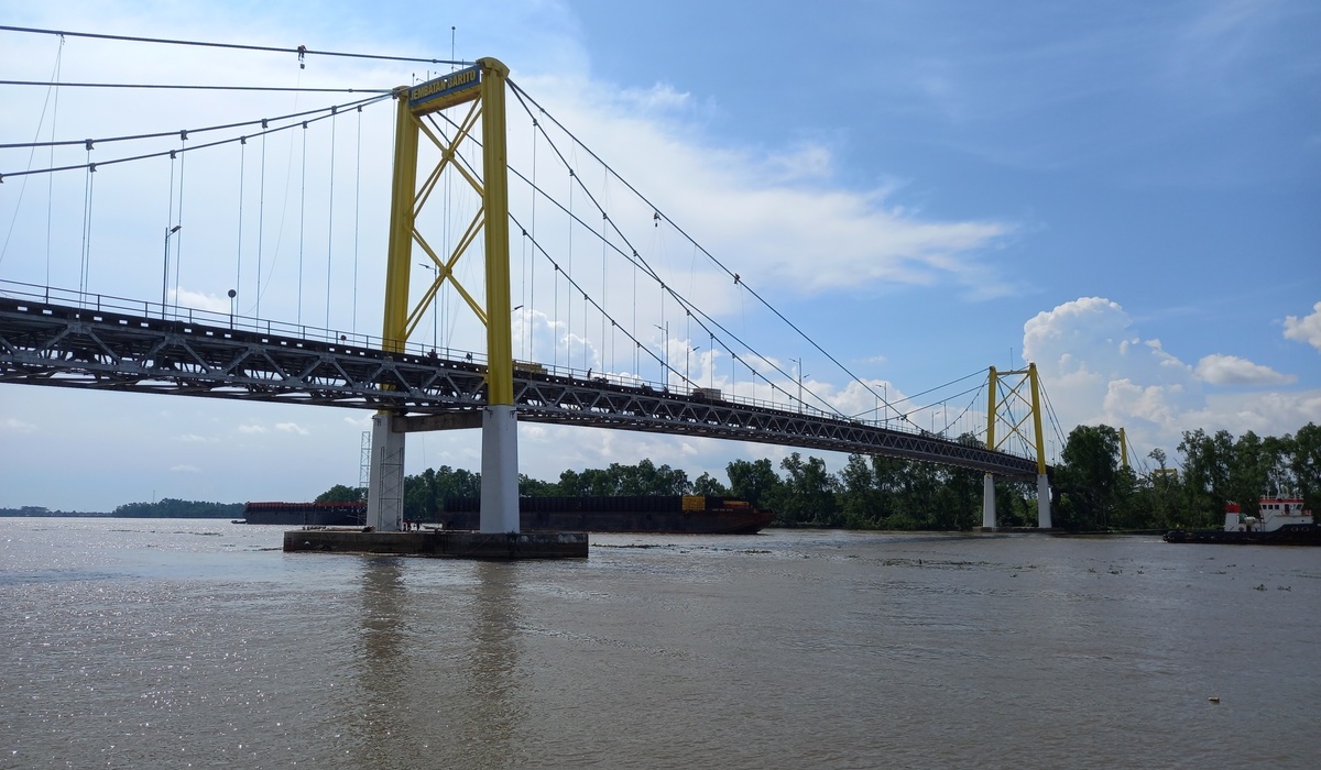
On the other hand, the city of Banjarmasin is also facing the phenomenon of rob flooding (calap), influenced by the combined overflow of the Martapura River, the Barito River, and high tides. Floodwaters inundated residential areas along the riverbanks and along the main roads, with water depths reaching up to half a metre, significantly disrupting traffic flow.
Local governments continue intensive monitoring of flood-prone points and have instructed evacuation teams to remain on standby to face the possibility of a further rise in water discharge.