
Angke Water Gate Monitoring Post on Alert Level 1, DKI BPBD Urges Residents to Beware of Floods
Jakarta (ANTARA) - The Jakarta Regional Disaster Mitigation Agency (BPBD DKI) has declared a danger status or Alert Level 1 at the Angke Hulu Water Gate Monitoring Post due to a rise in water level (TMA) reaching 350 centimetres early Tuesday.
According to information from BPBD DKI quoted in Jakarta on Tuesday, the drastic increase in water volume was observed to rise significantly since Monday (4/5) evening, in line with the intensity of rain and cloudy weather conditions in the upstream river area.
Based on data from the DKI Jakarta Provincial Water Resources Agency on Tuesday, 5 May 2026 at 00:00 WIB, the water level at the Angke Hulu Post was at 350 cm with Alert Level 1 status and cloudy weather conditions.
This status indicates an increase from the monitoring four hours earlier, where at 20:00 WIB on Monday, the water height was still at 320 cm.
BPBD DKI Jakarta has informed that this water rise is predicted to reach the Cengkareng Drain water gate in approximately three hours.
The authorities are asking residents living along the riverbanks to immediately take independent anticipatory measures to avoid material losses or fatalities due to water overflow.
The chronological details of the water rise at Angke Hulu on Monday (4/5) were recorded starting at 17:00 WIB with TMA 220 cm (Alert Level 3).
The condition continued to climb to 280 cm at 18:00 WIB (Alert Level 2), then reached 295 cm at 19:00 WIB when the local area was hit by drizzle, until finally touching the danger level at 20:00 WIB.
Several areas in West Jakarta and North Jakarta are predicted to be affected by the river flow, including South Kembangan, Duri Kosambi, Rawa Buaya, and North Kembangan.
In addition, areas such as Kedaung Kaliangke, East Cengkareng, Kapuk, Kapuk Muara, and Kamal Muara are also urged to heighten full vigilance against the potential for flooding.
Until Tuesday at 00:00 WIB, the conditions at other water gates in Jakarta also showed varying statuses, with the Pasar Ikan Post at Alert Level 2 with TMA 233 cm.
Meanwhile, the Manggarai Post (775 cm), Karet (510 cm), Pesanggrahan (180 cm), and Sunter Hulu (180 cm) were monitored at Caution or Alert Level 3 status.
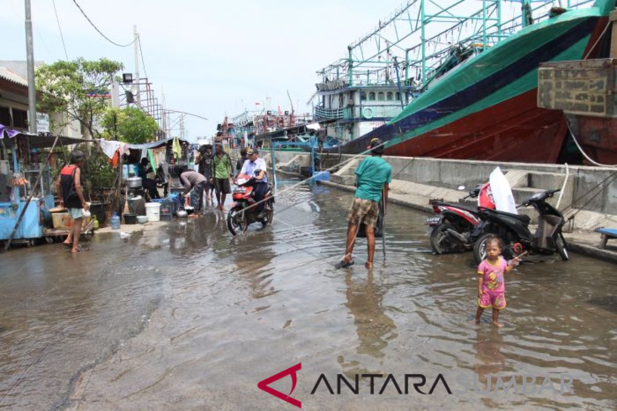
Previously, high rainfall that hit the DKI Jakarta area and surroundings on Monday (4/5) had triggered flooding in 55 neighbourhood units (RT) and three main road sections in South Jakarta and West Jakarta.
Water overflow was reported to inundate residents’ settlements with varying depths, from 30 centimetres to reaching 120 centimetres at the deepest points.
South Jakarta became the most significantly impacted area with a total of 51 RTs flooded, where Petogogan Ward recorded the highest number of flood points reaching 37 RTs.
In addition to residential areas, transportation access was also disrupted due to ponding of 30 to 70 centimetres in several strategic locations such as Swadarma Street, Ciledug Raya Street, and under the Jorr Meruya Utara Toll Road.