
Angke Hulu on Alert Level 1: How to Check Jakarta Flood Points in Real-Time
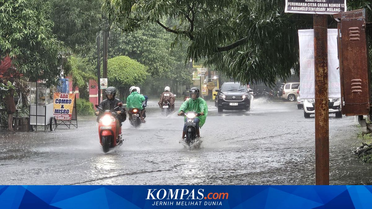
The Jakarta Regional Disaster Mitigation Agency (BPBD DKI Jakarta) has declared Alert Level 1, or danger status, at the Angke Hulu Water Gate Monitoring Post in the early hours of Tuesday (5/5/2026), after the water level reached 350 cm due to rain in the upstream area since Monday evening.
Data from the DKI Jakarta Water Resources Agency at 00.00 WIB shows a significant rise from 320 cm at 20.00 WIB to the danger level. The increase occurred gradually since the afternoon, from 220 cm (Alert 3) at 17.00 WIB, rising to 280 cm (Alert 2), then 295 cm, until finally reaching Alert 1 in the evening.
Areas expected to be affected include South Kembangan, Duri Kosambi, Rawa Buaya, North Kembangan, up to Kedaung Kaliangke, East Cengkareng, Kapuk, Kapuk Muara, and Kamal Muara.
Meanwhile, other water gates show varied statuses. Pasar Ikan Post is at Alert 2 (233 cm), while Manggarai (775 cm), Karet (510 cm), Pesanggrahan (180 cm), and Sunter Hulu (180 cm) are at Caution or Alert 3 level.
Previously, heavy rain also triggered flooding in 55 RTs and three road sections in South Jakarta and West Jakarta, with water depths of 30 to 120 cm. South Jakarta was the most affected area with 51 RTs inundated, particularly in Petogogan Ward.
In addition to residential areas, pooling also disrupted road access such as Jalan Swadarma, Jalan Ciledug Raya, and the underpass of the JORR Toll Meruya Utara, with water depths of 30–70 cm.
To anticipate travel, the public can monitor flood points through the following methods:
- Pantau Banjir Jakarta
The public can access the flood monitoring page owned by the DKI Jakarta Provincial Government to obtain the latest information regarding flood conditions. Through this site, users can view water level data (TMA) at various water gates, alert statuses classified from normal to danger, as well as supporting information such as rainfall and water pump operations. The dashboard feature also allows for more measurable monitoring of water rise trends.
- Jakarta Kini (JAKI)
Another official channel is the JAKI application, which can be accessed via mobile phone. This application provides maps of affected area distributions, water depth data at observation points, flood alert statuses, and the latest weather information. Updates are carried out periodically, making it a reference for monitoring developments in the field.
- Google Maps
In addition to official channels, the public can also utilise Google Maps to monitor road conditions directly. The method is to open the application and enter the travel destination as usual. Once the route appears, activate the traffic view and pay attention to icons or markers of incidents along the path.
If there are reports of pooling or closed roads, users can tap the icon to see details of the conditions reported by other users. From there, users can consider alternative routes offered by the application to avoid flood points and minimise the risk of getting stuck on inundated roads.
By utilising these various sources, the public can obtain a more comprehensive picture of the conditions and make safer travel decisions.