46 Neighbourhoods in East Jakarta's Ciracas Submerged by Floods, 696 Residents Evacuated
Flooding submerged 46 neighbourhoods in East Jakarta on Sunday (22/3/2026) afternoon. As many as 696 residents were forced to evacuate.
Water levels varied from 30 to 80 centimetres.
The Jakarta Regional Disaster Mitigation Agency (BPBD), at 10:00 WIB, reported flooding after a rise in water levels at several monitoring posts.
“The affected areas are entirely in East Jakarta,” said the Head of the Data and Information Centre (Kapusdatin) of BPBD DKI Jakarta, Mohamad Yohan, in a written statement on Sunday.
Ciracas sub-district had the highest number of affected neighbourhoods, reaching 16.
The flooding was triggered by high rainfall intensity, causing several rivers to overflow, such as the Cipinang River, Cilangkap River, and Sunter River.
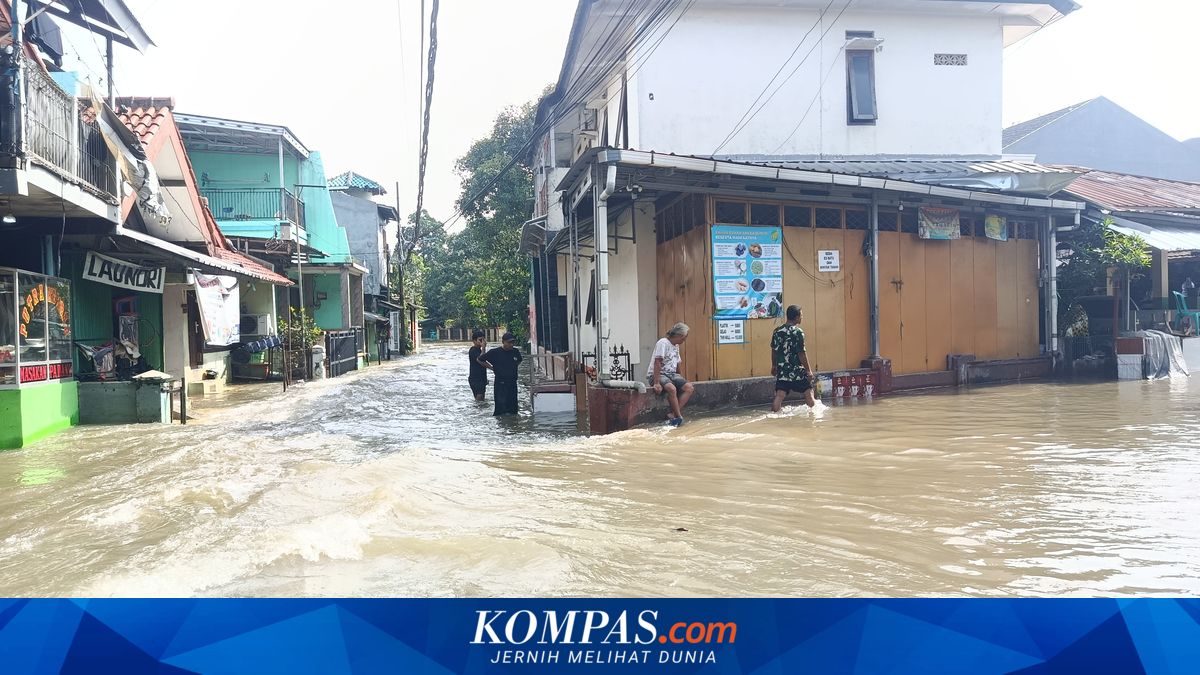
Based on Kompas.com’s observations in Neighbourhood 12/Community Group 2, Rambutan Village, Ciracas Sub-district, around 10:30 WIB, the floodwaters not only covered the road surfaces but also inundated residents’ settlements, particularly in low-lying areas.
This situation disrupted community mobility, with some roads impassable to vehicles.
Several residents had to carry out activities on foot through the floodwaters, while others chose to stay at home while continuously monitoring water level developments.
Nevertheless, BPBD reported that some areas were starting to recede, including Rawajati, Kebon Baru, East Pejaten, Jagakarsa, West Tanjung, and parts of Munjul, Dukuh, Tengah, and Cibubur.
Due to the flooding, hundreds of residents had to evacuate to safer places.
A total of 201 family heads (KK) or 696 people evacuated to various points, such as prayer rooms, mosques, sub-district offices, and other public facilities.
Several evacuation locations were in Ciracas and Pasar Rebo areas, including Baiturrahim Mosque, Al-Ikhlas Mosque, as well as local mosque halls functioning as temporary shelters.