16 Neighbourhoods and 2 Road Sections in West Jakarta Still Flooded This Morning
The Jakarta Regional Disaster Management Agency (BPBD) reported the latest conditions of flooding caused by heavy rainfall that has pounded the capital since Sunday (8 March). Based on the latest data as of Monday, 9 March 2026 at 06:00 WIB, a total of 16 neighbourhoods (RT) and 2 road sections in the West Jakarta area remained waterlogged.
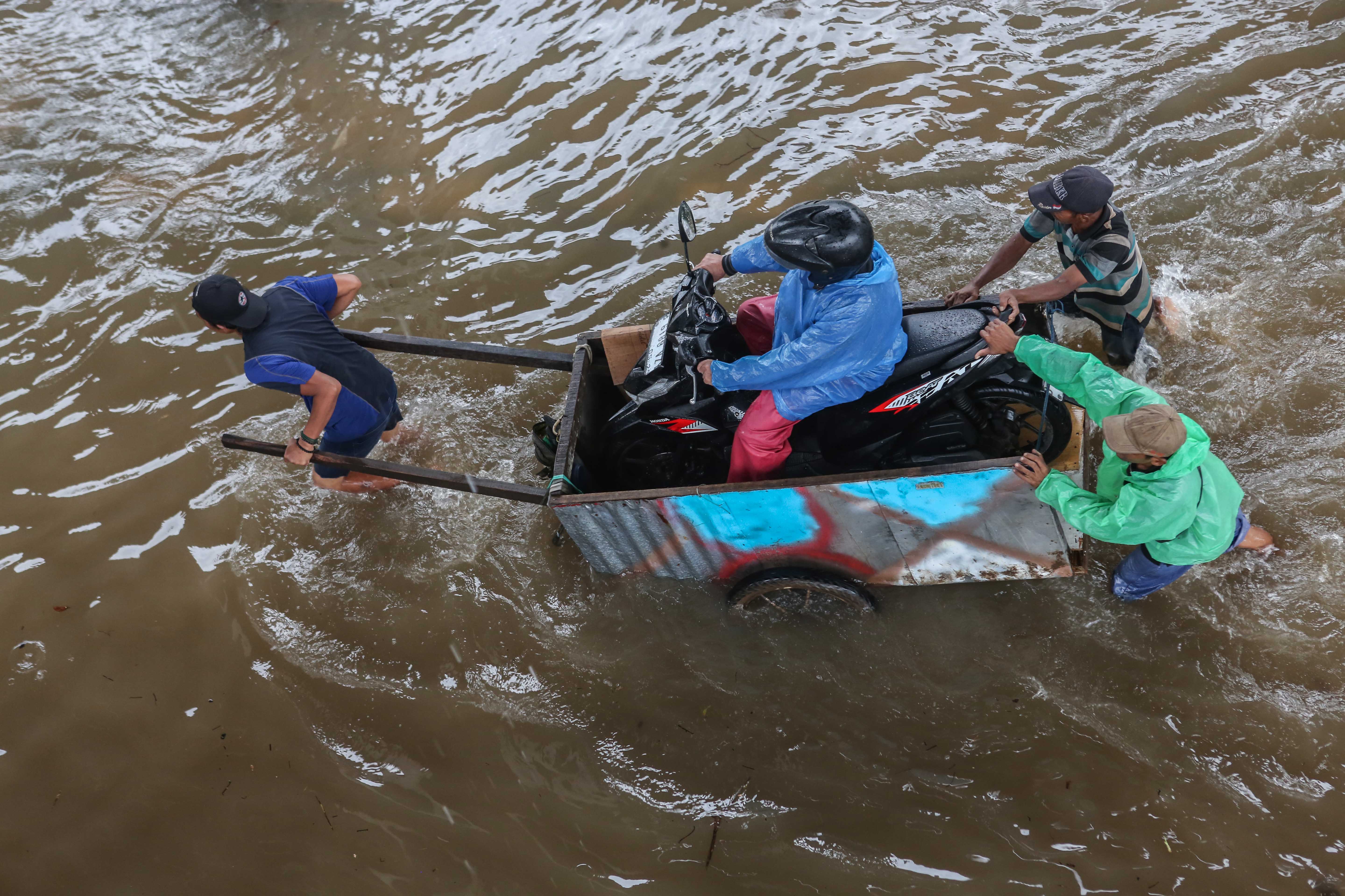
Water depths varied, with the deepest point reaching 90 centimetres in Rawa Buaya district. This situation forced hundreds of residents from various neighbourhoods to evacuate to nearby places of worship and educational facilities.
All flooded areas are currently concentrated in West Jakarta. Two main road sections also remained flooded with depths ranging from 15 to 70 centimetres, namely Jalan Kapuk Muara Raya and the Lampu Merah Luar Kembangan Raya area due to the overflow of Kali Angke river.
The BPBD DKI Jakarta has deployed combined personnel from the Water Resources Agency, Roads and Drainage Agency, and Public Order Agency to accelerate water drainage at affected locations. Residents are urged to remain alert and immediately contact the emergency number 112 if they need evacuation or logistical assistance.
Urban observer Yayat Supriyanta assessed that Jakarta’s floods are not only triggered by high rainfall intensity, but also demonstrate the weakening of the flood control system. The recurring floods that occur almost every year have again drawn scrutiny from various parties, including concerns about the limited green open space (RTH) in the capital.
Governor Pramono Anung emphasised that the flooding that occurred in several areas of the capital on Sunday (8 March) was triggered by extreme rainfall.