
Why Forest Fire Smoke Impacts Aviation: BMKG Explains
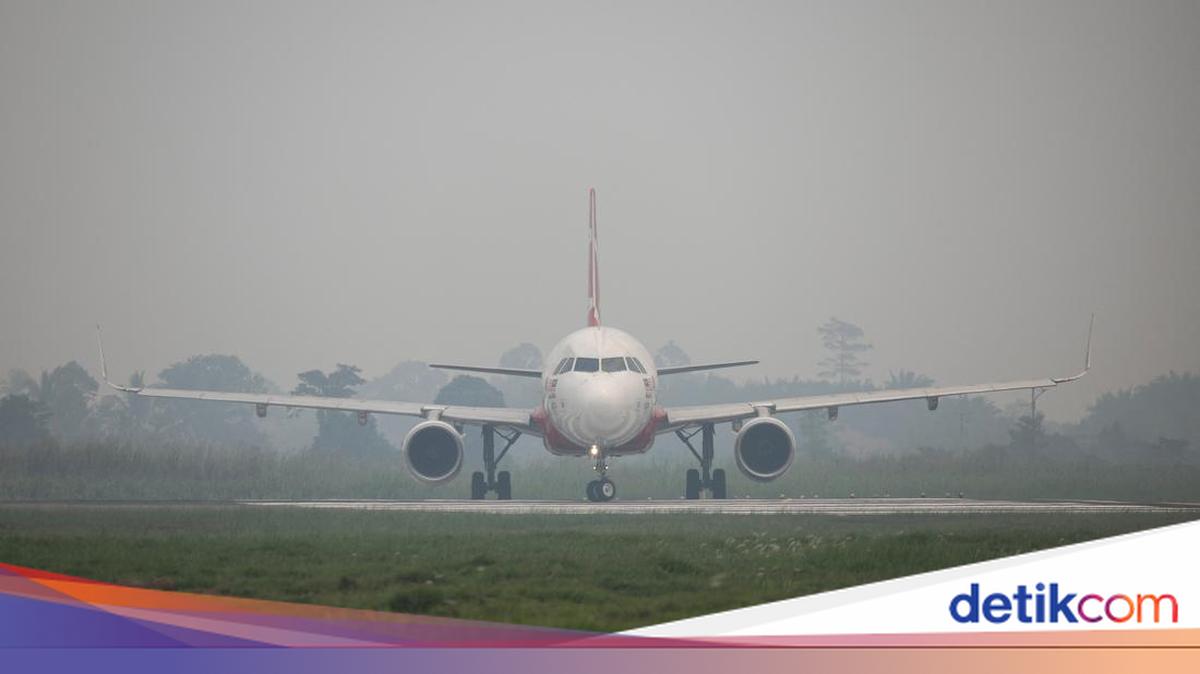
Have you ever experienced a flight delay or diversion due to smoke from forest and land fires? As the El Niño phenomenon strikes and the peak of the dry season arrives, the risk of forest and land fires (karhutla) increases rapidly. Thick smoke carried by the wind to airport areas drastically reduces visibility.
Indonesia is currently in the peak period of the dry season. BMKG predicts that the peak of the dry season will occur during the period from July to September 2026.
Here is the BMKG’s explanation regarding why forest fire smoke can affect aviation.
The Relationship Between El Niño and Forest Fire Smoke
It should be noted that El Niño is not the direct cause of forest fires. El Niño is a phenomenon that can affect rainfall patterns in Indonesia.
When the intensity of El Niño is very strong, rainfall can decrease in many parts of Indonesia, making air conditions drier, which results in an increased risk of drought and forest fires. The influence of a very strong El Niño and a positive IOD (Indian Ocean Dipole) remains a factor supporting dry conditions in most parts of Indonesia.
As the El Niño phenomenon strikes and the peak of the dry season arrives, the risk of forest and land fires increases rapidly. Thick smoke carried by the wind to airport areas causes visibility to decrease drastically.
The Impact of Forest Fire Smoke on Airports
When forests or lands burn, they produce smoke and particles. This smoke from forest and land fires can be carried by the wind and reach areas surrounding airports.
In the aviation world, visibility information is one of the essential meteorological pieces of information used to support the safety and smoothness of flight operations. As smoke becomes thicker, visibility shortens.
Visibility that does not meet the requirements for aircraft to take off or land can lead to flight adjustments, such as delays, diversions, or operational restrictions for the sake of safety.
BMKG remains committed to supporting the safety of flight operations by providing weather information for almost all airports in Indonesia, including their flight routes, covering:
Actual weather observations
Weather forecasts
Early weather warnings
Flight documents for pilots and airlines
Optimal aeronautical information