
What are Thermal Drones? Technology for Detecting Forest and Land Fires
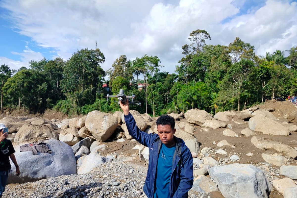
Jakarta (ANTARA) - Forest and land fires (karhutla) remain a major concern in several regions of Kalimantan. The National Disaster Management Agency (BNⅩPB) has reported an increase in hotspots across West, Central, and South Kalimantan. Amidst these conditions, technology is being deployed to assist officers in locating fire sources that are difficult to detect from the surface.
One such tool is the thermal drone. BNPB is using drones equipped with thermal cameras to search for fire sources in South Kalimantan, including hotspots located beneath the surface that are not visible to the naked eye. The use of this technology is part of the ongoing field efforts to manage forest and land fires.
So, what exactly is a thermal drone, and why can this technology assist officers in tackling forest and land fires?
A thermal drone is an unmanned aerial vehicle (UAV) equipped with a thermal camera. Unlike standard cameras that capture images based on visible light, thermal cameras detect heat radiation from an object.
Simply put, these cameras can help indicate which parts of an area have higher temperatures. The results are then displayed as images with specific colour differences or intensity levels, making high-heat areas easier to recognise. This technology enables thermal drones to be used for various needs, especially when the target object is difficult to see directly.
How do thermal drones work?
The drone is flown to capture aerial imagery using the thermal camera. The camera’s sensors capture differences in heat radiation originating from the surface or objects below.
In managing forest and land fires, officers can use the monitoring results to search for areas with temperature anomalies. This information can then serve as a guide to determine locations that require further inspection by ground teams. An advantage of this method is that monitoring can be conducted from the air without having to immediately deploy numerous personnel across vast areas.
This is particularly crucial in peatland fires. Fire is sometimes not visible as flames on the surface but may leave embers beneath the surface. Such conditions make the process of searching for the fire source much more difficult.
The use of thermal drones is not limited to forest and land fires. Thermal camera technology on drones can be utilised for various purposes, including:
Detecting hotspots: One of its primary functions is helping to find areas with unusual temperatures. In forest fire cases, these hotspots can indicate the presence of fire or embers that need checking.
Assisting in locating fire sources: Drones can reach areas that are difficult for officers to access, including regions with heavy terrain. From the air, officers can obtain a picture of which locations should be prioritised for inspection.
Monitoring post-fire conditions: Fires that appear to be extinguished are not necessarily completely out. Embers may remain in certain parts. Thermal cameras can help officers conduct re-monitoring to search for areas that still retain heat.
Supporting regional mapping: Data collected by drones can help officers gain an overview of a region’s condition. This information can be used as supporting material to determine subsequent management steps.
Forest and land fires often occur in vast areas, while not all parts of a region are easily accessible to humans. The use of drones allows for aerial monitoring, enabling officers to obtain preliminary information without having to manually sweep the entire area.
Thermal technology also provides an advantage when heat sources are not easily visible to the eye. In the cases currently being handled by BNPB in South Kalimantan, thermal drones are being used to search for fire sources located beneath the surface that are invisible.
With this information, officers can determine locations that require further inspection or intervention.
Despite their ability to detect heat, thermal drones are not meant to replace the work of personnel entirely. Monitoring results still need to be analysed and verified before being used as the basis for field action. Drones are more accurately viewed as supporting tools to accelerate the monitoring process and help officers obtain information regarding the condition of an area.
The use of such technology aligns with the increasing use of technology in managing forest and land fires. In addition to drones, the government utilises hotspot data, weather monitoring, weather modification operations, and ground patrols to anticipate the spread of fires. BMKG, for instance, supports fire management through weather analysis and atmospheric dynamics monitoring.
Ultimately, thermal drones serve as an example of how technology can assist humans in facing environmental challenges. Their ability to see temperature differences from the air makes searching for heat sources easier, especially in large or hard-to-reach areas.
In the management of forest and land fires in Kalimantan, this technology can be a vital part of the early detection system. The faster a heat source is found, the quicker officers can determine the necessary steps to prevent the fire from developing and spreading.