
West Papua drafts marine spatial plan to protect coral reef ecosystems
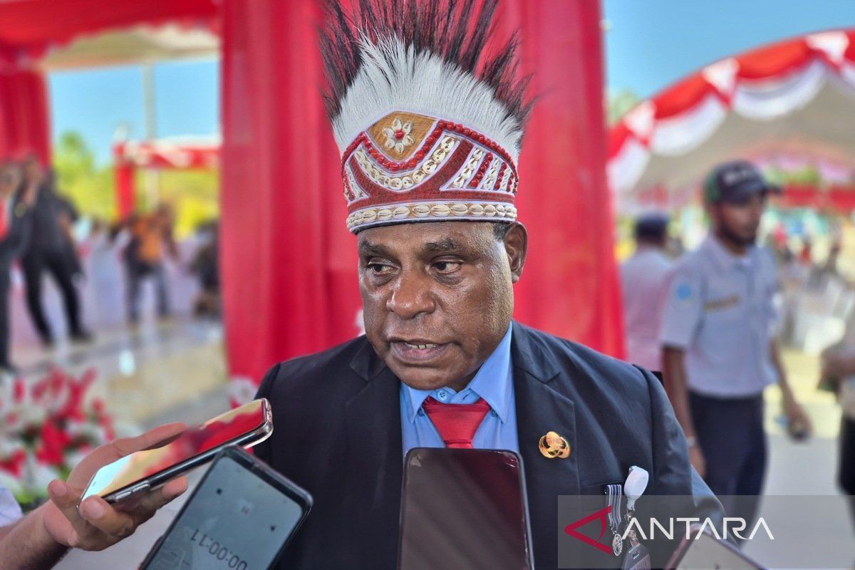
The West Papua provincial government has stated that the preparation of a marine spatial plan (RTRW) for sea areas aims to protect coral reef ecosystems from damage caused by human activity and the impacts of climate change.
Head of the West Papua Marine and Fisheries Service (DKP), Orgenes Idjie, said in Manokwari on Monday that the spatial planning document that has been prepared will proceed to the stages of public consultation and technical consultation with relevant ministries.
“After the two consultation stages, the marine spatial plan will be integrated with the provincial spatial plan, which previously already accommodated land areas,” he said.
He noted that the preparation of the marine spatial planning document refers to the West Papua Regional Medium-Term Development Plan (RPJMD) for the 2025–2029 period, which has been established through Regional Regulation Number 5 of 2025.
The preparation process involves a number of stakeholders, including academics, representatives of environmental organisations, and coastal communities that depend on marine resources, so that it can be implemented optimally.
“Because the provincial government has the authority to manage sea areas up to 12 miles from the coastline, and the document being prepared refers to the West Papua RPJMD,” Orgenes said.
In addition, according to him, the preparation of the marine spatial plan will make it easier for the regional government to map conservation areas, establish fishing zones, and designate sustainable use zones following the creation of Southwest Papua Province.
There are a number of marine areas in West Papua that are priority locations because they have high biodiversity and are home to coral reefs, such as Teluk Wondama Regency and Kaimana Regency.
“The condition of coral reefs at several points has experienced degradation in the moderate category. Therefore, a marine spatial planning document is needed so that they can be protected,” he said.
Before the regional expansion, the coastline length of West Papua reached 12,455 kilometres, but after Raja Ampat, Tambrauw, and Sorong Raya became part of the new province, the coastline length is estimated to be only 5,500 kilometres.
The current West Papua coastline is spread across Kaimana Regency at 2,436 kilometres, Teluk Wondama at around 500 kilometres, Fakfak at between 800 and 1,000 kilometres, Teluk Bintuni at 1,000 to 1,200 kilometres, and Manokwari and South Manokwari at around 300 to 400 kilometres.
“The coral reef area of West Papua after the expansion of Southwest Papua is approximately 85,000 to 100,000 hectares,” he said.