
West Lombok Earthquake Caused by Indo-Australian Plate Rock Deformation
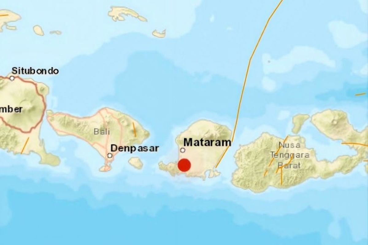
The Meteorology, Climatology, and Geophysics Agency (BMKG) has stated that rock deformation within the Indo-Australian plate subduction zone caused an earthquake in West Lombok Regency, West Nusa Tenggara (NTB).
The Head of the Mataram Geophysical Station, Sumawan, stated that the moderate earthquake, which had an updated magnitude of 5.0 and a depth of 82 kilometres, occurred at 04:15 WITA on 7 October 2026.
“The results of the source mechanism analysis show that the earthquake has a downward movement mechanism,” he said in Mataram on Wednesday.
Sumawan noted that the epicentre was located at coordinates 8.81 degrees south latitude and 116.16 degrees east longitude, situated on land approximately 14 kilometres southeast of West Lombok Regency.
The tremors were felt most strongly in Mataram City with an intensity of IV to V on the Modified Mercalli Intensity (MMI) scale. This scale indicates that vibrations were felt by almost all residents and many people were awakened.
Meanwhile, the earthquake was felt with an intensity of III to IV MMI in Central Lombok; III MMI in East Lombok, North Lombok, West Sumbawa, and Sumbawa; and II to III MMI in Kuta and Denpasar, Bali.
The BMKG confirmed that the land-based earthquake does not have the potential to trigger a tsunami.
As of 04:45 WITA, the BMKG recorded one aftershock with a magnitude of 1.3.
Sumawan urged the public to remain calm and not be influenced by unverified information, and to avoid buildings that are cracked or damaged due to the earthquake.
“We continue to monitor aftershock activity and provide updated information to stakeholders and the public,” he said.
Source: jawawa.id (https://jawawa.id/newsitem/west-lombok-earthquake-caused-by-indo-australian-plate-rock-deformation-1791327191)
Originally published by Antara (Indonesian) (https://www.antaranews.com/berita/5774509/gempa-lombok-barat-akibat-deformasi-batuan-lempeng-indo-australia), translated from Indonesian