
West Kalimantan developer donates AI-based technology to predict forest and land fires
Pontianak (ANTARA) - West Kalimantan technology developer Hajon Mahdy, through Hotama Technologies, has donated artificial intelligence (AI) technology capable of helping predict the potential for forest and land fires (karhutla) up to 24 months in advance.
“The technology is provided free of charge as a form of support for prevention and mitigation efforts against forest and land fires, particularly in West Kalimantan,” said Hajon Mahdy in Pontianak on Thursday.
He explained that the system was developed using an AI-based predictive analytics approach, processing various variables and data to produce risk-level mapping for forest and land fires in a given area over a specific period.
According to Hajon, the 24-month projection capability does not mean the system can determine exactly when and where fires will occur. Rather, the technology produces probability and risk-level assessments that can serve as a basis for stakeholders in decision-making.
“So far, technology has mostly been used once hotspots have already appeared. We want to encourage a more preventive approach. With sufficient data, AI can help read patterns and provide a risk picture much earlier, giving us time to carry out mitigation,” he said.
The technology has been introduced in strategic discussions on forest and land fire management with a number of parties, including the West Kalimantan Indonesian Red Cross (PMI), the Peatland and Mangrove Ecosystem Management Agency of the Ministry of Environment, the Kalimantan I River Basin Agency of the Ministry of Public Works, the West Kalimantan Provincial Government, Bank Indonesia, and Bank Kalbar.
One of the main features developed is the Peat Fire Vulnerability Index (PFVI), an index designed to help identify and map the level of fire vulnerability in peatland areas. Peatlands have different fire characteristics compared to mineral soils. When peat dries out, fire can spread in the subsurface layer, making it more difficult to detect and handle.
Through the PFVI, the system combines various indicators related to peatland conditions to produce a classification of area vulnerability levels. This data is then combined with the AI prediction model to provide earlier information on areas that may experience an increased risk of fire.
“If we only act after a hotspot appears, we are already in the incident phase. We developed the Peat Fire Vulnerability Index so that we can see area vulnerability earlier. The aim is not to wait for fire to appear before we start moving,” said Hajon.
The technology can later serve as a supporting instrument in determining various mitigation measures, such as patrol priorities, peat rewetting, water source management, resource placement, and intervention in areas with high vulnerability levels.
He said the system developed by Hotama Technologies carries three main layers of information: detection of current conditions, mapping of peatland vulnerability, and prediction of future risks.
With this approach, the government and stakeholders not only obtain information on ongoing incidents but also have a picture of areas requiring attention in the short and long term.
“Imagine if we knew an area had an increasing risk trend several months before entering a critical condition. The government and field officers would have time to intervene. The greatest value of AI here is not when it finds fire, but when the information it produces helps us prevent that fire from occurring,” he said.
Although the technology is being donated, Hajon noted that system development still requires collaboration from various parties, particularly in the provision, quality improvement, and integration of data from various institutions.
The system can be accessed via the page https://sistem-terpadu-risiko-karhutla-kalb.vercel.app.
“We are donating the technology. We are not asking the government to buy this system. What we hope for is collaboration and access to relevant data so that the AI can work even better and its benefits can be felt by the public,” said Hajon.
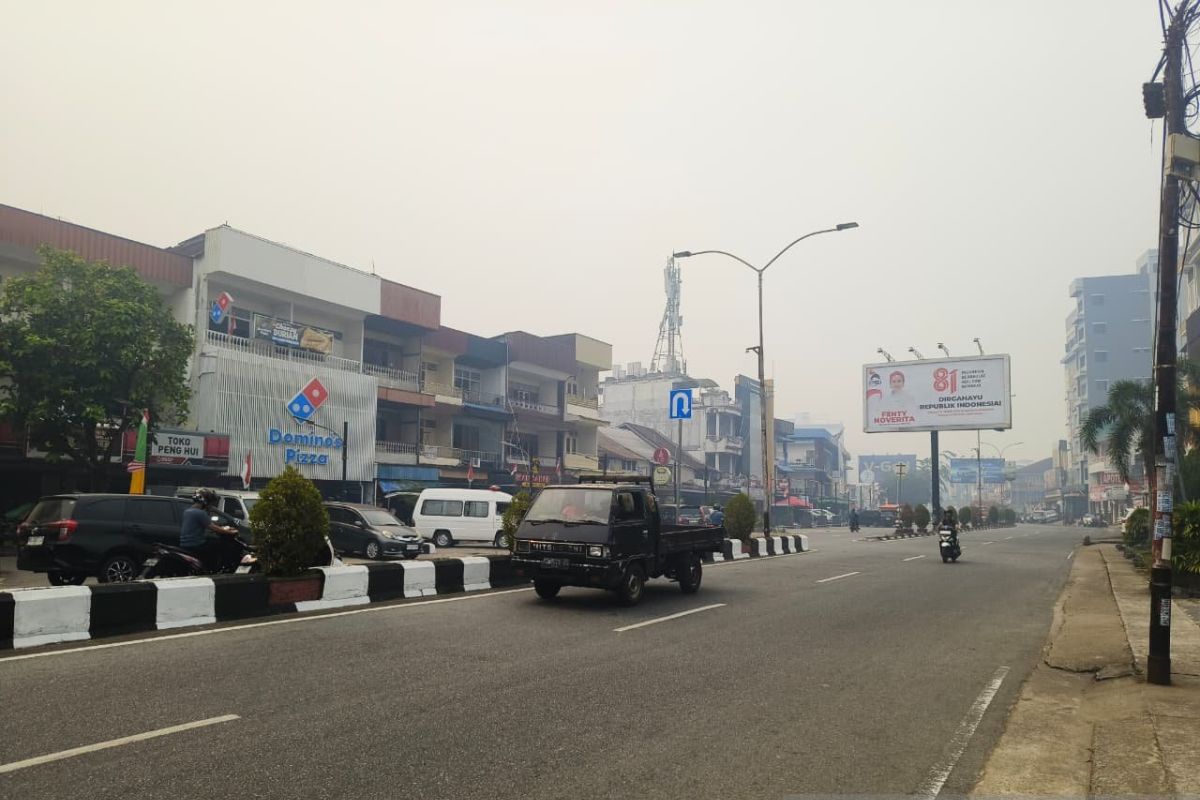
Based on BMKG data, up to August 2026, hotspots in West Kalimantan were recorded at 2,610. Meanwhile, based on West Kalimantan BPBD data, the area of land burned in West Kalimantan from January to July 2026 was 38,310 hectares.
Source: jawawa.id (https://jawawa.id/newsitem/west-kalimantan-developer-donates-ai-based-technology-to-predict-forest-and-land-fires-1787831636)
Originally published by Antara (Indonesian) (https://www.antaranews.com/berita/5713851/pengembang-kalbar-hibahkan-teknologi-berbasis-ai-prediksi-karhutla), translated from Indonesian