
West Java Governor Urges Kuningan Spatial Plan to Protect Mount Ciremai
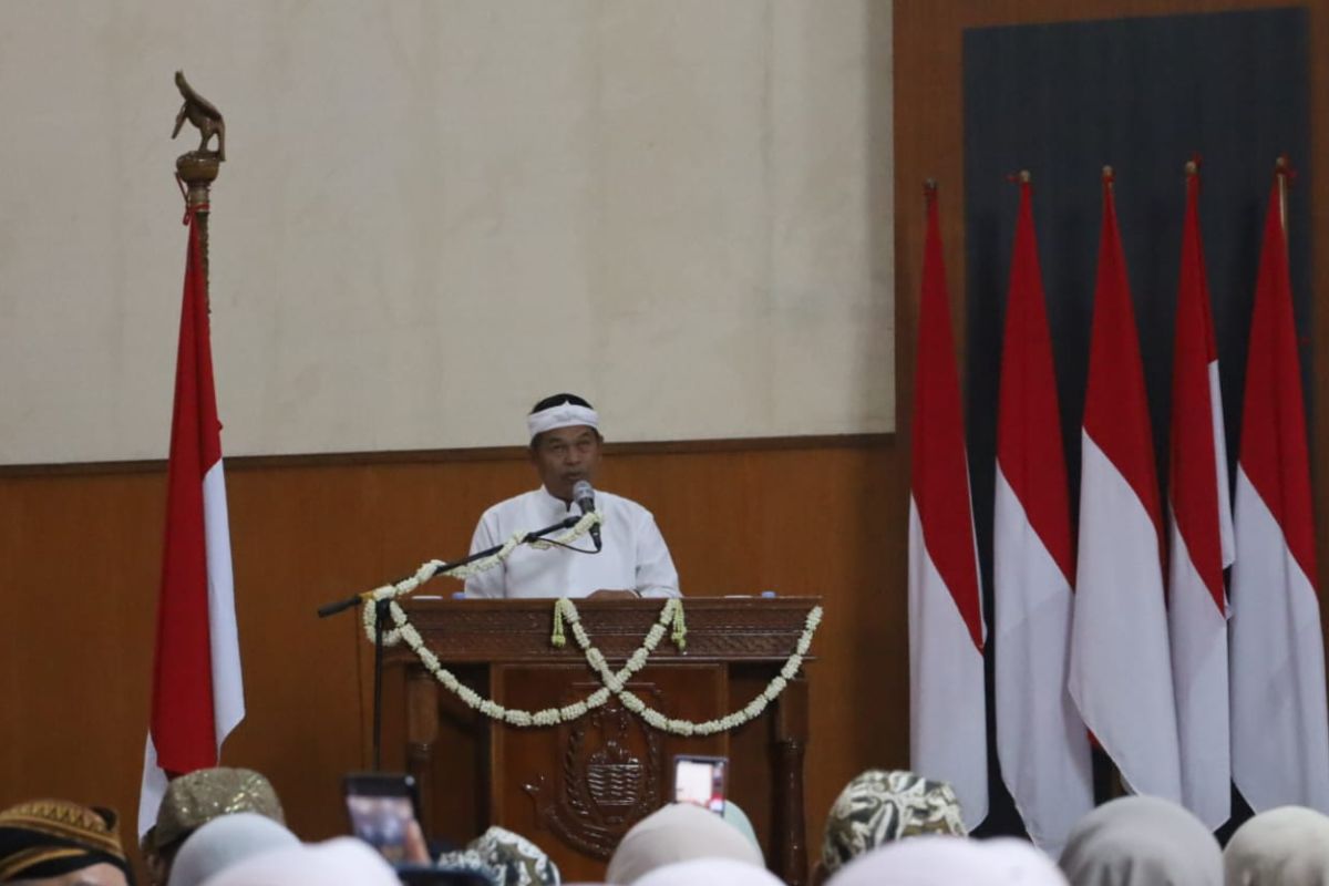
The primary protection of Mount Ciremai and its entire foothills must be maintained and must not undergo any changes in land use designation.
Kuningan (ANTARA) - West Java Governor Dedi Mulyadi has requested the Kuningan Regency Government to ensure that the Regional Spatial Plan (RTRW) provides protection for water sources, ecological areas, and Mount Ciremai.
“The regional spatial planning must provide protection for water sources and ecological areas,” said Dedi after attending the Plenary Session for the 528th Anniversary of Kuningan Regency at the Kuningan Regency DPRD Building on Tuesday.
He emphasised that Mount Ciremai must be a central component receiving protection within the spatial planning of Kuningan Regency.
“The primary protection of Mount Ciremai and its entire foothills must be preserved and must not undergo any changes in land use designation,” he stated.
He reminded that the mountain area must remain forested, while valleys should be maintained as catchment areas and ponds, and lowlands should be reserved for rice paddies.
He assessed that the sustainability of Mount Cirema is closely linked to the continuity of water sources, ecosystems, historical areas, and the developing tourism sector in Kuningan Regency.
In addition to spatial planning, he requested the local government to increase spending efficiency while ensuring that the basic infrastructure needs of the community are met.
He also directed attention towards road infrastructure development in Kuningan Regency, targeting phased completion by 2028.
“Spending must become more efficient, and the basic infrastructure of the community must be fulfilled,” he said.